


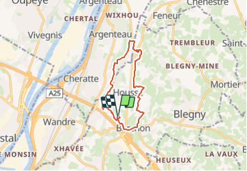

10.9 km | 12.6 km-effort

User GUIDE


FREE GPS app for hiking
 SityTrail
IGN / Geographical institutes
SityTrail World
The world is yours!
Trail Walking of 9.9 km to be discovered at Wallonia, Liège, Blegny. This trail is proposed by mumu.larandonneuse.
ℹ️ www.wandelgidszuidlimburg.com
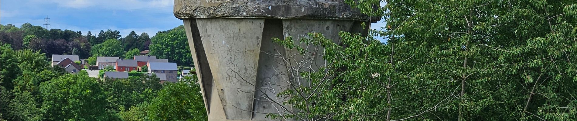
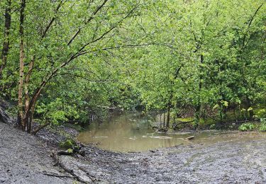
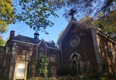
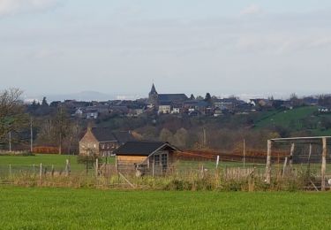
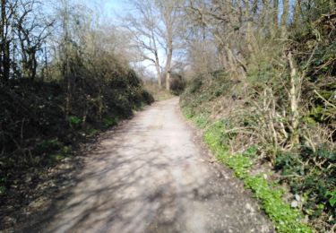
➡️ Le fort Barchon est situé au nord-est de Liège dans le Pays de Herve. C'est une forteresse près du village belge de Barchon. C'était l'une des 12 forteresses de la ceinture de forteresses autour de Liège. Le fort a été utilisé pendant la Première et la Seconde Guerre mondiale. C'est maintenant une propriété privée. Au cours de cette balade vallonnée à travers le Pays de Herve vous marchez d'abord vers le centre de Barchon et par de jolis sentiers vous marchez jusqu'à la forêt de Bacsay où vous longerez un ruisseau pittoresque. Passé le village de Housse, vous marchez à travers des prairies, avec de belles vues, jusqu'au village de Saint-Remy où se trouve une belle aire de pique-nique avec des bancs. Vous errez assez longtemps sur de jolis chemins forestiers à travers la forêt de La Julienne puis vous passez à nouveau devant le village de Housse. Après une montée raide hors de la vallée, vous passez au-dessus d'une vieille tour, puis vous revenez à la forteresse. Il y a des chemins surprenants dans l'itinéraire.
📌 Parking du Fort de Barchon


Walking

Walking
Walking

Walking
Walking
Walking

Walking
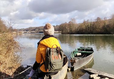
Beau parcours.