Trail Walking Arrens-Marsous - col de soulor, lac de soum, col de bazes, col de soulor  - Photo

col de soulor, lac de soum, col de bazes, col de soulor

© OpenStreetMap contributors
Length
Length
16.4 km
Max alt
Max alt
1602 m
Uphill gradient
Uphill gradient
524 m
Km-Effort
Km-Effort  
23 km
Min alt
Min alt
1429 m
Downhill gradient
Downhill gradient
523 m
Boucle
Boucle
Yes
Creation date :
2023-07-28 07:59:43.395
Updated on :
2023-07-28 14:06:55.507

(0 Reviews)

Walking
Walking
5h20
Difficulty : Medium

Scan this QR Code to open this trail in the SityTrail application

FREE GPS app for hiking

Logo SityTrail SityTrail

IGN / Geographical institutes

Download SityTrail from the App Store Download SityTrail from Google Play

Logo SityTrail SityTrail World

The world is yours!

Download SityTrail from the App Store Download SityTrail from Google Play Download SityTrail on Huawei AppGallery

About

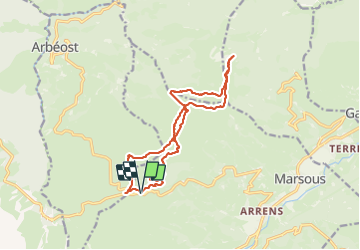
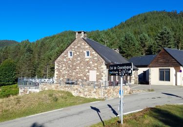
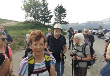
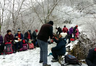
Trail Walking of 16.4 km to be discovered at Occitania, Hautespyrenees, Arrens-Marsous. This trail is proposed by fbienmuller.

Description

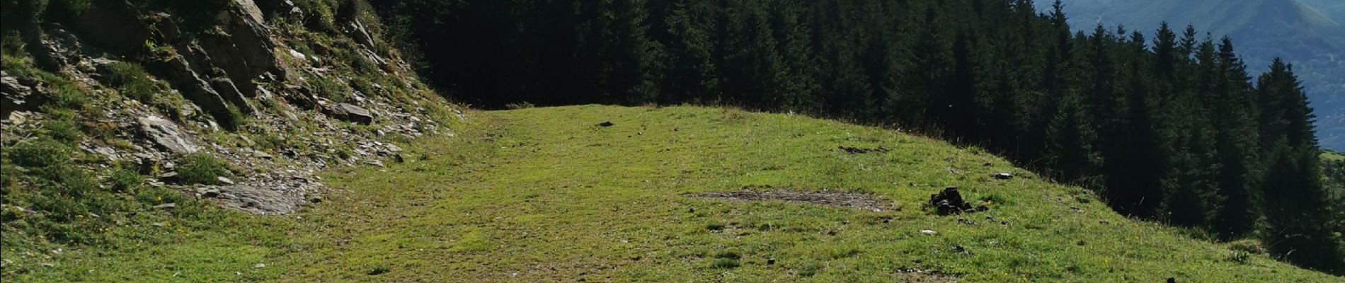
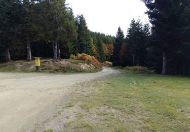
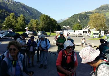
Beaux paysages mais pas d'ombres (sauf début de balade)

Elevation profile

Photos

32 photos in total. Please click on a photo to see them all in the gallery.

Positioning

Country:
France
Region :
Occitania
Department/Province :
Hautespyrenees
Municipality :
Arrens-Marsous
Location:
Unknown
Start:(UTM)
723806 ; 4760123 (30T) N.

Trails nearby

Trail On foot Arbéost - SityTrail - Arbeost le tour des quartiers d'Arbeost fait - Photo
On foot
GUIDE
marmotte65

On foot

Easy
(1)
Arbéost, Occitania, Hautespyrenees, France
6.7 km | 12.3 km-effort
Unknown
Yes
Trail Snowshoes Aucun - Le Soum de Berducou - Photo
Snowshoes
tracegps

Snowshoes

Medium
(1)
Aucun, Occitania, Hautespyrenees, France
5.3 km | 9.6 km-effort
3h 15min
Yes
Trail On foot Aucun - AUCUN Couraduque  Le Berbeillet autrement G3 2976337 - Photo
On foot
GUIDE
marmotte65

On foot

Easy
Aucun, Occitania, Hautespyrenees, France
9.5 km | 14.2 km-effort
2h 13min
Yes
Trail Walking Arrens-Marsous - ARRENS MARSOUS Le Turon des aulhes    2906361 - Photo
Walking
GUIDE
marmotte65

Walking

Medium
(1)
Arrens-Marsous, Occitania, Hautespyrenees, France
9.5 km | 16.4 km-effort
5h 55min
Yes
Trail Winter sports Aucun - couraduc soulor - Photo
Winter sports
ehresmann

Winter sports

Difficult
(1)
Aucun, Occitania, Hautespyrenees, France
34 km | 45 km-effort
2h 31min
Yes
Trail Winter sports Aucun - Bazes soulor - Photo
Winter sports
ehresmann

Winter sports

Medium
(1)
Aucun, Occitania, Hautespyrenees, France
25 km | 34 km-effort
2h 4min
Yes
Trail Walking Aucun - Lac de Soum depuis Col de Couraduque en boucle - Photo
Walking
katiab

Walking

Easy
Aucun, Occitania, Hautespyrenees, France
11.9 km | 18.2 km-effort
4h 36min
Yes
Trail Walking Aucun - AUCUN Couraduque  Berbeillet en boucle G3
Walking
GUIDE
marmotte65

Walking

Very difficult
Aucun, Occitania, Hautespyrenees, France
9.3 km | 13.7 km-effort
4h 4min
Yes
Trail Walking Arrens-Marsous - ARRENS-MARSOUS  le chemin de la mine G4   3059377 - Photo
Walking
GUIDE
marmotte65

Walking

Medium
Arrens-Marsous, Occitania, Hautespyrenees, France
11.2 km | 14.6 km-effort
3h 23min
Yes


Close
My subscriptions