


Archebor / Deffeyes

Stéphane Ruchet
User
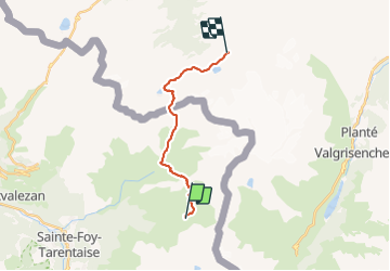

Length
14.5 km

Max alt
2673 m

Uphill gradient
1378 m
Km-Effort
31 km

Min alt
2007 m

Downhill gradient
921 m
Boucle
No
Creation date :
2023-08-02 11:52:48.081
Updated on :
2023-08-02 11:53:09.096
7h08
Difficulty : Very difficult

FREE GPS app for hiking
 SityTrail
IGN / Geographical institutes
SityTrail Plus
The world is yours!
About
Trail Walking of 14.5 km to be discovered at Auvergne-Rhône-Alpes, Savoy, Sainte-Foy-Tarentaise. This trail is proposed by Stéphane Ruchet.
Positioning
Country:
France
Region :
Auvergne-Rhône-Alpes
Department/Province :
Savoy
Municipality :
Sainte-Foy-Tarentaise
Location:
Unknown
Start:(Dec)
Start:(UTM)
340852 ; 5051891 (32T) N.
Comments