


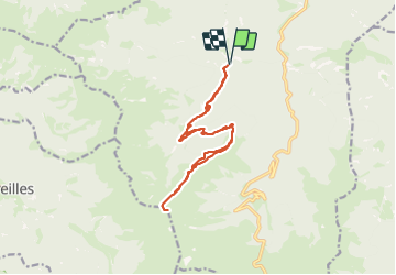

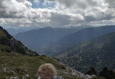
11.7 km | 24 km-effort


FREE GPS app for hiking
 SityTrail
IGN / Geographical institutes
SityTrail World
The world is yours!
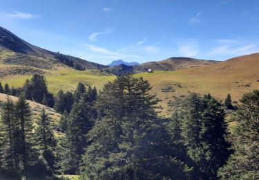
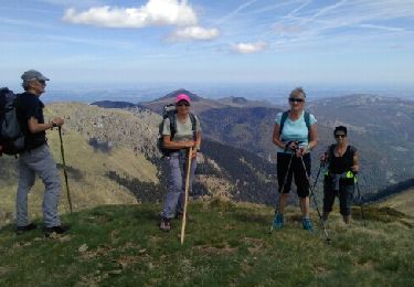
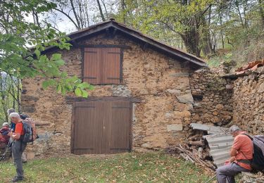
Trail Walking of 16.7 km to be discovered at Occitania, Hautespyrenees, Ferrère. This trail is proposed by Jacqueline Vandergheynst.
soum de templa depuis bordes de ferrere
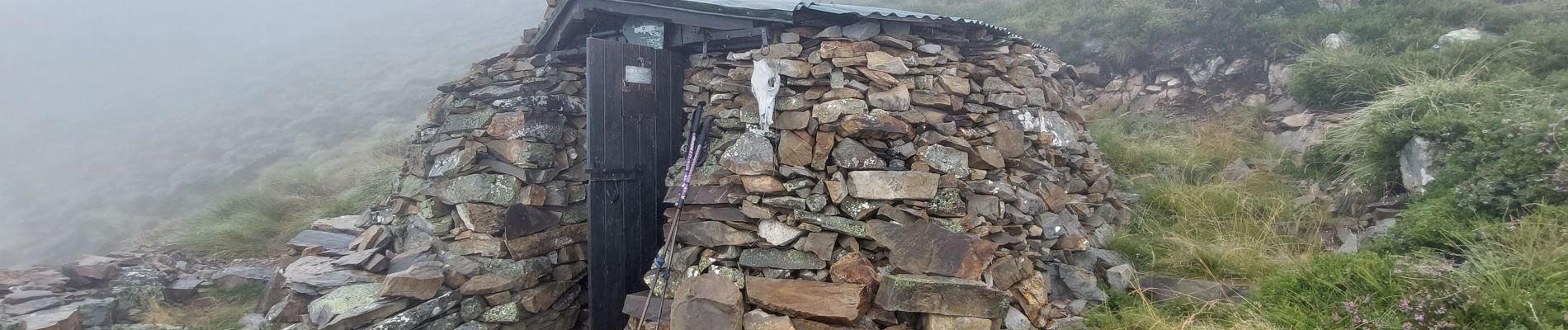
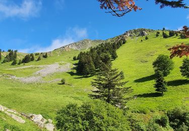
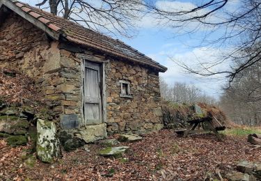
cabane de pin, pic du pin, soum de templa retour par les cretes boucle 17km 1200md

Walking
Walking
Walking
Walking
Walking
Walking
Walking
Walking

Walking