


col du St Bernard

suzanne.bron
User
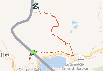

Length
1.8 km

Max alt
2746 m

Uphill gradient
277 m
Km-Effort
4.5 km

Min alt
2463 m

Downhill gradient
7 m
Boucle
No
Creation date :
2023-08-13 09:20:30.818
Updated on :
2023-08-13 13:44:29.729
2h21
Difficulty : Easy

FREE GPS app for hiking
 SityTrail
IGN / Geographical institutes
SityTrail Plus
The world is yours!
About
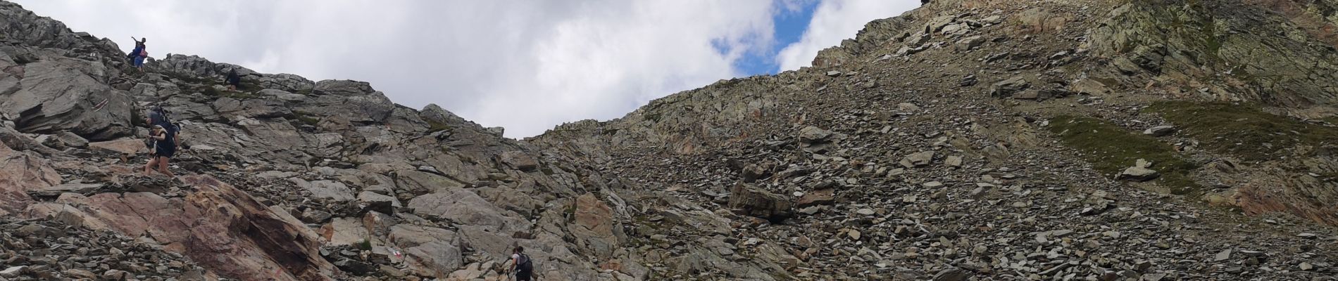
Trail Walking of 1.8 km to be discovered at Aosta Valley, Unknown, Saint-Rhémy-en-Bosses. This trail is proposed by suzanne.bron.
Photos


Positioning
Country:
Italy
Region :
Aosta Valley
Department/Province :
Unknown
Municipality :
Saint-Rhémy-en-Bosses
Location:
Unknown
Start:(Dec)
Start:(UTM)
357500 ; 5081134 (32T) N.
Comments