


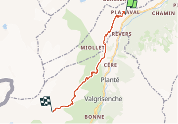
Étape 1 - Planaval - Refugio Degli Angeli

i20
User

Length
11.9 km

Max alt
2899 m

Uphill gradient
1487 m
Km-Effort
27 km

Min alt
1552 m

Downhill gradient
156 m
Boucle
No
Creation date :
2023-08-11 07:54:17.158
Updated on :
2023-08-13 16:01:37.208
5h20
Difficulty : Difficult

FREE GPS app for hiking
 SityTrail
IGN / Geographical institutes
SityTrail Plus
The world is yours!
About
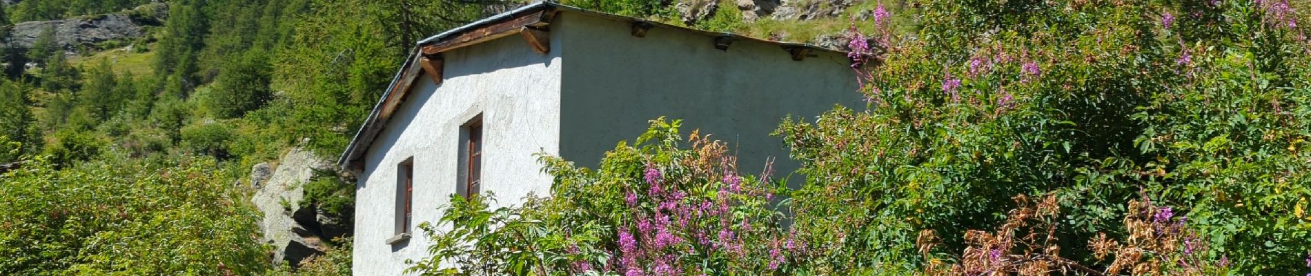
Trail Walking of 11.9 km to be discovered at Aosta Valley, Unknown, Arvier. This trail is proposed by i20.
Photos


Positioning
Country:
Italy
Region :
Aosta Valley
Department/Province :
Unknown
Municipality :
Arvier
Location:
Unknown
Start:(Dec)
Start:(UTM)
350452 ; 5059401 (32T) N.
Comments