


Étape 2 : Refuge Degli Angeli - Col du Mont - Refuge de l'Archeboc

i20
User
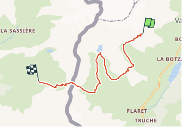

Length
14.8 km

Max alt
2926 m

Uphill gradient
757 m
Km-Effort
28 km

Min alt
2028 m

Downhill gradient
1627 m
Boucle
No
Creation date :
2023-08-12 06:02:16.641
Updated on :
2023-08-13 16:01:39.197
8h12
Difficulty : Difficult

FREE GPS app for hiking
 SityTrail
IGN / Geographical institutes
SityTrail Plus
The world is yours!
About
Trail Walking of 14.8 km to be discovered at Aosta Valley, Unknown, Valgrisenche. This trail is proposed by i20.
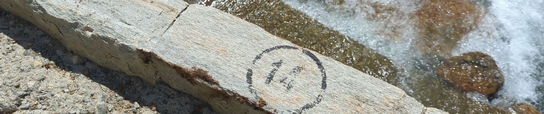
Photos


Positioning
Country:
Italy
Region :
Aosta Valley
Department/Province :
Unknown
Municipality :
Valgrisenche
Location:
Unknown
Start:(Dec)
Start:(UTM)
346412 ; 5054219 (32T) N.
Comments