


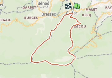


12.8 km | 19.5 km-effort


User


FREE GPS app for hiking
 SityTrail
IGN / Geographical institutes
SityTrail World
The world is yours!
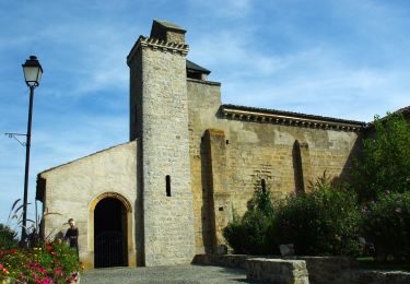
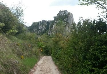
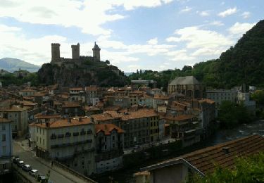
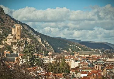
Trail Walking of 17.4 km to be discovered at Occitania, Ariège, Ganac. This trail is proposed by JohnTompa.
Une très belle rando que j'ai faite en 1997. Elle m'est restée en mémoire depuis - et j(ai été plusieurs fois au Prat d'Albis depuis.
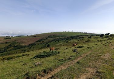
On monte depuis Ganac par le TRP Barguillère et ca mo,te et ca monte. Toujours une vue de mes pieds et de l'herbe devant moi.
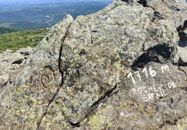
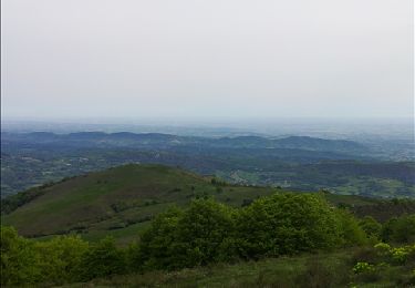
Puis on arrive en haut et la vue coupe le souffle! On voit les Pyrénées en face et cela vaut tout cet effort de monter.
Fantastique.
Puis retour pour faire une boucle - toujours agréable.
PS ON peutvoir la vue sans la montée en laisant la voiture en haut - mais il fautg agner la récompense!
Walking
Mountain bike

On foot
Walking
Walking

Mountain bike
Cycle