


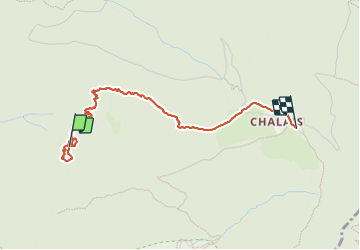

12.3 km | 25 km-effort

User


FREE GPS app for hiking
 SityTrail
IGN / Geographical institutes
SityTrail World
The world is yours!
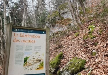
Trail Walking of 3.4 km to be discovered at Auvergne-Rhône-Alpes, Isère, Voreppe. This trail is proposed by cmarit.
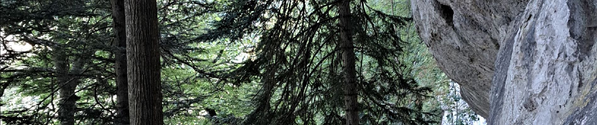
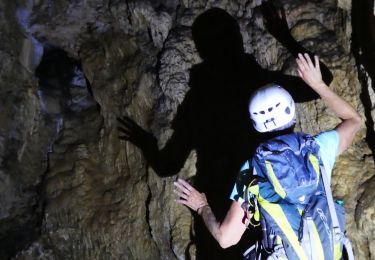
encore un topo de P Sombardier (on les aime!)
Nous avons mis très longtemps, voici pourquoi :
-pour arriver au rappel, en cherchant le passage, en trouvant les premières cordes fixes (plus d'échelle mais pas de pb), nous avons déjà mis environ 1h30.
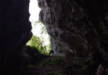
Pour parcourir la vire jusqu'au toboggan, c'est long pour moi qui ai les genoux abimés. Nous sommes contentes quand nous arrivons au couloir équipé d'une corde et satisfaites de voir le grand toboggan derrière avec sa corde pour nous assurer (elle aura servi pour m'aider à la progression, et surtout pour arrêter la glissade sans gravité de ma copine.
Après, c'est encore long pour arriver au grand promontoire mais surtout, qu'il était loin ce collu avec son cheminement en dévers!
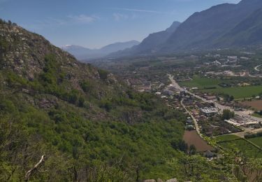
Enfin, on s'en est sorti et ce fut une journée bien agréable, même si on se croyait parti pour moins longtemps!...


Walking

Electric bike

Walking
Walking
Walking
Walking
Touring skiing
Walking
Walking