


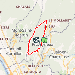

10.9 km | 26 km-effort


User


FREE GPS app for hiking
 SityTrail
IGN / Geographical institutes
SityTrail World
The world is yours!
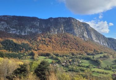
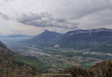
Trail Walking of 10.5 km to be discovered at Auvergne-Rhône-Alpes, Isère, Proveysieux. This trail is proposed by cmarit.
Balade avec toute une section hors sentier sur la crête dont il ne faut pas trop s'éloigner.Nous avons suivi la trace proposée par tracegps sur le site. Donc nous avons basculé sur le côté Est de la crête vers 1200m. Par contre plus de sentier, sauf de temps en temps un cairn. Côté ouest le sentier se poursuit, nous l'avions pris une fois précédente pour finir par faire 1/2 tour (heure). De ce côté Est, on progresse à vue au plus simple. Quand nous arrivons au sommet, nous avons cherché un peu pour trouver un bon passage. Ensuite descente en forêt jusqu'à retrouver le sentier marqué sur la carte.
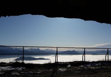
Jolie boucle mais à entreprendre par beau temps sûr!
(le temps donné comprend tous les arrêts)
Attention aux Tiques : 5 pour 1 pers/2 pour l'autre/1 pers épargnée!
Walking

Walking
Walking
Touring skiing
Walking
Walking
Walking
Walking

Walking
Pas mal !