


saulire 2023

goizet
User
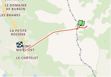

Length
4.1 km

Max alt
2688 m

Uphill gradient
61 m
Km-Effort
8.2 km

Min alt
1683 m

Downhill gradient
1048 m
Boucle
No
Creation date :
2023-08-22 09:48:51.332
Updated on :
2023-08-22 12:01:00.049
2h11
Difficulty : Very easy

FREE GPS app for hiking
 SityTrail
IGN / Geographical institutes
SityTrail Plus
The world is yours!
About
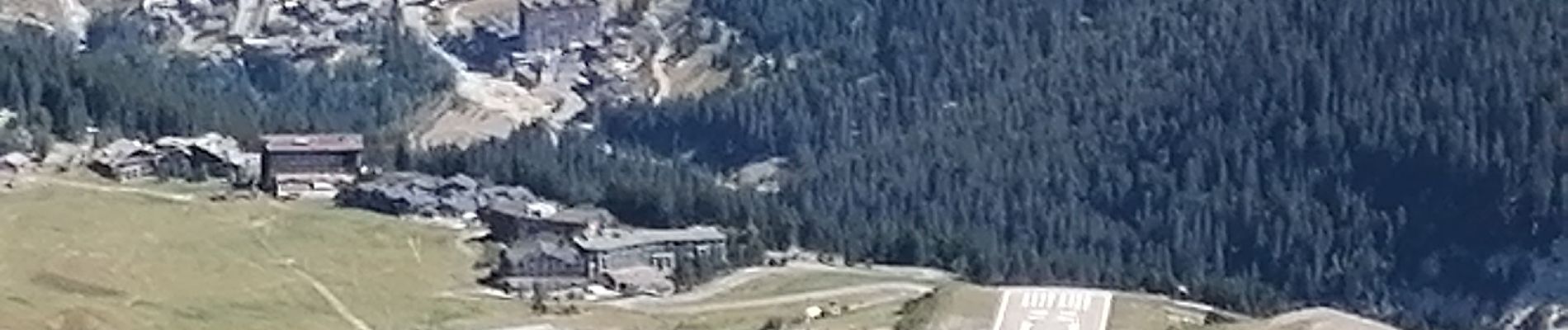
Trail Walking of 4.1 km to be discovered at Auvergne-Rhône-Alpes, Savoy, Courchevel. This trail is proposed by goizet.
Photos


Positioning
Country:
France
Region :
Auvergne-Rhône-Alpes
Department/Province :
Savoy
Municipality :
Courchevel
Location:
Saint-Bon-Tarentaise
Start:(Dec)
Start:(UTM)
312876 ; 5028040 (32T) N.
Comments