


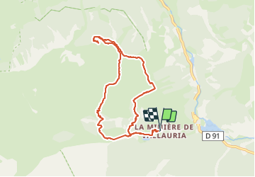

22 km | 36 km-effort

User


FREE GPS app for hiking
 SityTrail
IGN / Geographical institutes
SityTrail World
The world is yours!
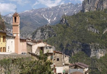
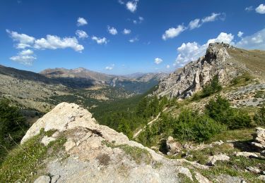
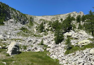
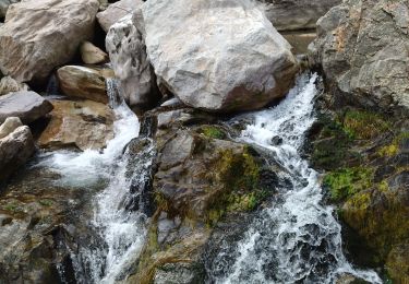
Trail Walking of 9.3 km to be discovered at Provence-Alpes-Côte d'Azur, Maritime Alps, Tende. This trail is proposed by choubaka77.
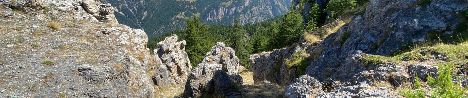
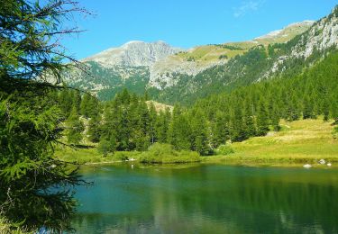
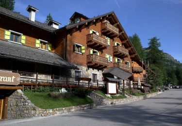
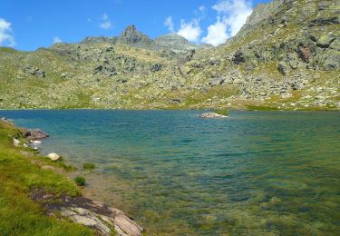
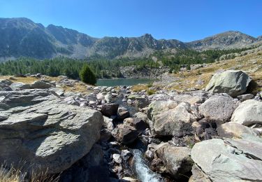
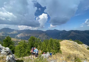
Boucle au départ du gîte avec une belle montée en sous bois et un très beau panorama au sommet


On foot
On foot
On foot
On foot
Walking
Walking
Walking
Walking
Walking