Trail Walking Tende - Montée au refuge des merveilles  - Photo

Montée au refuge des merveilles

© OpenStreetMap contributors
Length
Length
6.6 km
Max alt
Max alt
2118 m
Uphill gradient
Uphill gradient
620 m
Km-Effort
Km-Effort  
12.9 km
Min alt
Min alt
1506 m
Downhill gradient
Downhill gradient
12 m
Boucle
Boucle
No
Creation date :
2023-08-25 06:38:58.0
Updated on :
2023-08-26 13:27:52.482

(0 Reviews)

Walking
Walking
2h51
Difficulty : Easy

Scan this QR Code to open this trail in the SityTrail application

FREE GPS app for hiking

Logo SityTrail SityTrail

IGN / Geographical institutes

Download SityTrail from the App Store Download SityTrail from Google Play

Logo SityTrail SityTrail World

The world is yours!

Download SityTrail from the App Store Download SityTrail from Google Play Download SityTrail on Huawei AppGallery

About

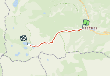
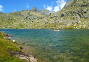
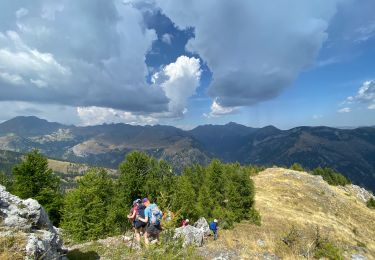
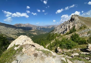
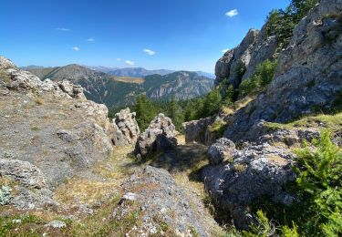
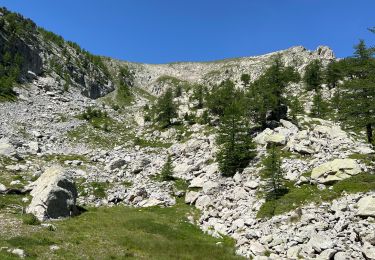
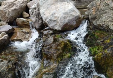
Trail Walking of 6.6 km to be discovered at Provence-Alpes-Côte d'Azur, Maritime Alps, Tende. This trail is proposed by choubaka77.

Description

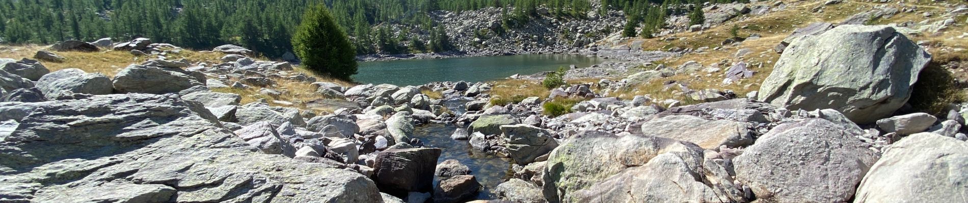
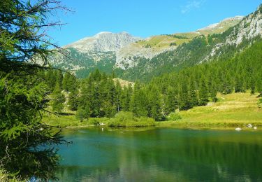
Belle balade en attente de la visite des gravures rupestres un bon déjeuner au refuge.

Elevation profile

Photos

Positioning

Country:
France
Region :
Provence-Alpes-Côte d'Azur
Department/Province :
Maritime Alps
Municipality :
Tende
Location:
Unknown
Start:(UTM)
380906 ; 4880746 (32T) N.

Trails nearby

Trail On foot Tende - Vallée des Merveilles - Photo
On foot
PRO

On foot

Difficult
(1)
Tende, Provence-Alpes-Côte d'Azur, Maritime Alps, France
22 km | 36 km-effort
8h 6min
Yes
Trail On foot Fontan - Tour de Gauron - Photo
On foot
PRO

On foot

Medium
Fontan, Provence-Alpes-Côte d'Azur, Maritime Alps, France
11.1 km | 23 km-effort
5h 13min
Yes
Trail On foot Tende - Circuit de Fontanalbe - Photo
On foot
PRO

On foot

Medium
Tende, Provence-Alpes-Côte d'Azur, Maritime Alps, France
14.6 km | 24 km-effort
5h 28min
Yes
Trail On foot Tende - Tour du Grand Capelet - Etape 3 - Photo
On foot
PRO

On foot

Easy
Tende, Provence-Alpes-Côte d'Azur, Maritime Alps, France
6.4 km | 12.9 km-effort
2h 56min
No
Trail Walking Tende - Côme de la nausée - Photo
Walking
choubaka77

Walking

Medium
Tende, Provence-Alpes-Côte d'Azur, Maritime Alps, France
8.2 km | 17.6 km-effort
3h 37min
Yes
Trail Walking Tende - Boucle à Fontanalba - Photo
Walking
choubaka77

Walking

Medium
Tende, Provence-Alpes-Côte d'Azur, Maritime Alps, France
12.8 km | 24 km-effort
4h 57min
No
Trail Walking Tende - Cime du plan tendasse  - Photo
Walking
choubaka77

Walking

Medium
Tende, Provence-Alpes-Côte d'Azur, Maritime Alps, France
9.3 km | 18.7 km-effort
5h 20min
Yes
Trail Walking Tende - Mont Bégo  - Photo
Walking
bozo1970

Walking

Very difficult
Tende, Provence-Alpes-Côte d'Azur, Maritime Alps, France
19.5 km | 39 km-effort
8h 6min
Yes
Trail Walking Tende - 83 fontanalba lac des mesches - Photo
Walking
himba26100

Walking

Medium
Tende, Provence-Alpes-Côte d'Azur, Maritime Alps, France
11.6 km | 19.6 km-effort
5h 19min
No


Close
My subscriptions