


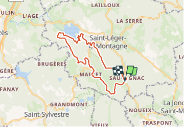

12.2 km | 16.4 km-effort


FREE GPS app for hiking
 SityTrail
IGN / Geographical institutes
SityTrail World
The world is yours!
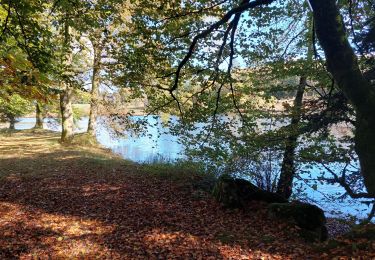
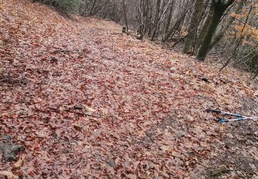
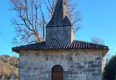
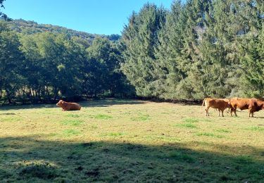
Trail of 14.9 km to be discovered at New Aquitaine, Haute-Vienne, Saint-Léger-la-Montagne. This trail is proposed by 000843.e2af63ba812d4dc4a845c93df243350a.2104.
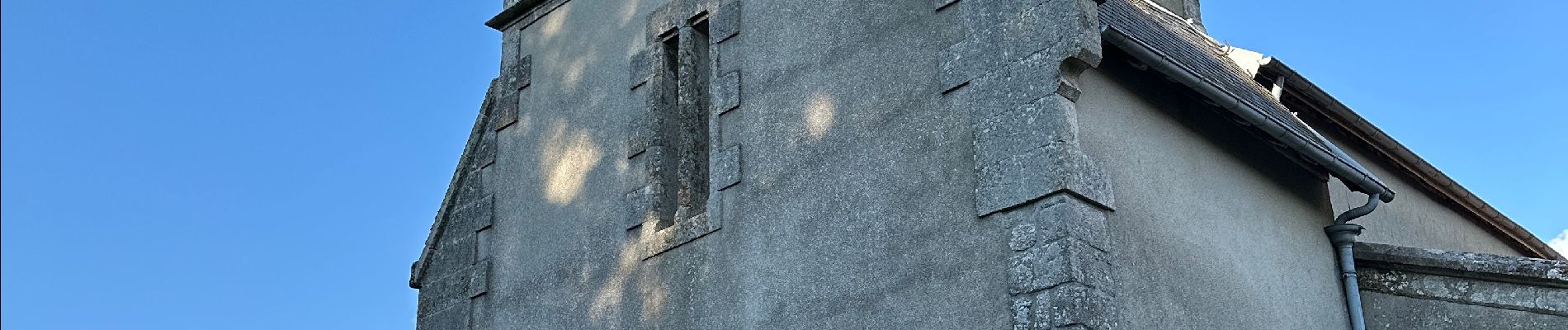
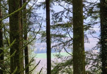
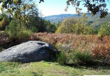
Superbe randonnée sans difficulté particulière bien ombragée beaux paysages.


Walking
Walking


sport

Walking
Walking
Walking
Nordic walking
Walking
Walking