


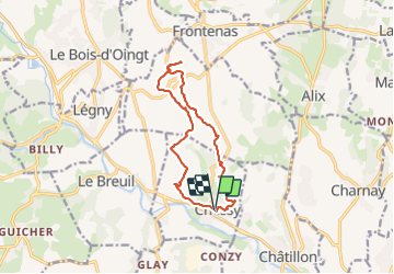


45 km | 59 km-effort

User


FREE GPS app for hiking
 SityTrail
IGN / Geographical institutes
SityTrail World
The world is yours!
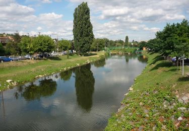
Trail Walking of 12.5 km to be discovered at Auvergne-Rhône-Alpes, Rhône, Chessy. This trail is proposed by Jean-Marc C.
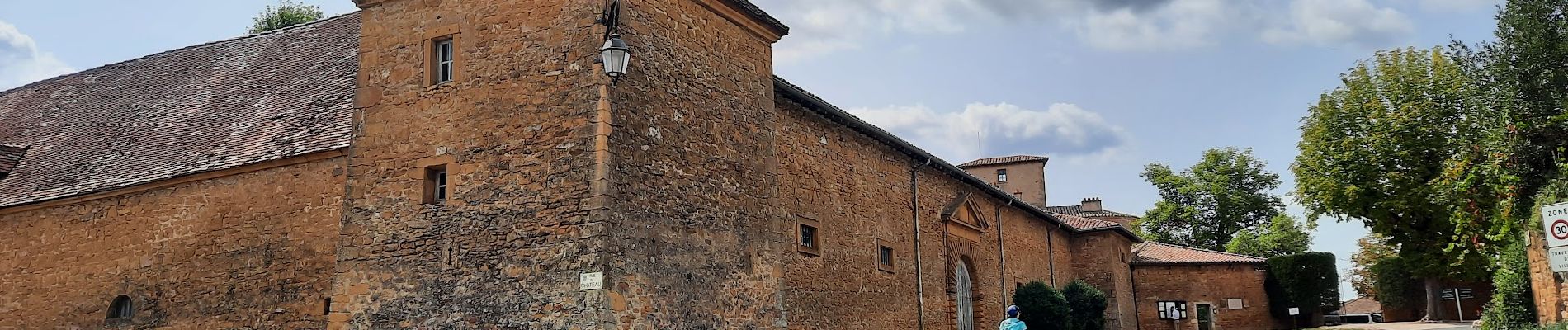
Départ de Chessy : son église, son château.
Montée vers Bagnols : le lavoir de Saint Aigues.
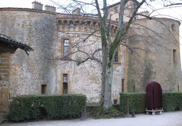
Passage par Bagnols : son château, son église
Point de vue sur les monts du Lyonnais et les Monts d'or
retour en descente vers Chessy, passage devant la chapelle Saint-Roch
Arrivée à Chessy par le sentier découverte des mines avec panneaux naturalistes, historiques et géologiques.


Mountain bike

Horseback riding
On foot
On foot
On foot

Nordic walking

Walking

Walking
Walking