


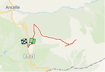

15.4 km | 26 km-effort

User GUIDE


FREE GPS app for hiking
 SityTrail
IGN / Geographical institutes
SityTrail World
The world is yours!
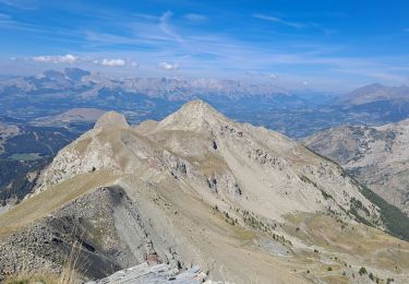
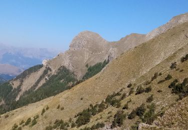
Trail Walking of 8.6 km to be discovered at Provence-Alpes-Côte d'Azur, Hautes-Alpes, Ancelle. This trail is proposed by R@ph.
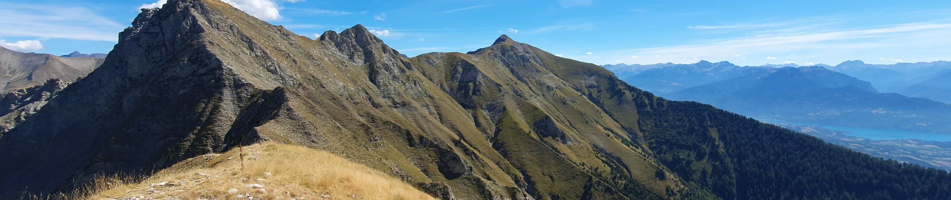
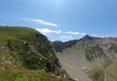
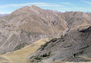
Au départ de Moissière une première partie en sous bois jusqu'au plateau, puis montée au col de L'arche. Une fois au col à droite vous montez à l'Arche, aucune difficulté 200 m en crête, si vous prenez à gauche c'est direction l'Aiguille. Attention ce deuxième sommet est plus exposé que l'Arche, vous serez obligé de passer par une cheminée où il sera indispensable de mettre les mains, ceux qui ne sont pas très surs (il faudra aussi redescendre par là) abstenez vous.


Running

Walking
Walking
Walking

Walking

Snowshoes

Walking
Walking
Walking