


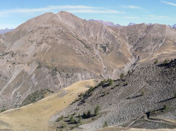
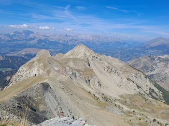
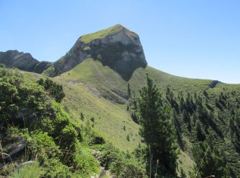
15.4 km | 26 km-effort
Ancelle: Discover the best trails: 141 hiking trails and 16 bike and mountain-bike routes. All these trails, routes and outdoor activities are available in our SityTrail applications for smartphones and tablets.
Running


•
Walking
Walking
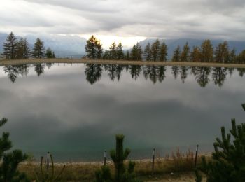
Walking
Walking

Snowshoes
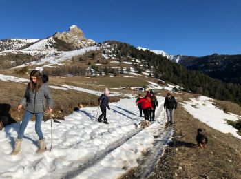
• Ski de rando. Départ Ancelle - vallée de la Rouanne direction Haute Rouanne - laisser à gauche le rocher du Lautaret ...

Walking
Walking
Walking
Walking
Walking
Walking
Walking
Walking
Walking
Walking
Walking
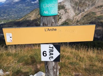
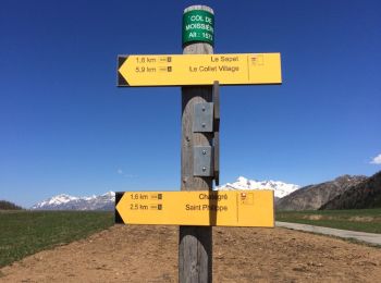
• Col de Moissière, Saint Philippe, Ruines archéologiques de Faudon, Col de Moissières. Nombreuses marmottes

Other activity
Snowshoes
Walking
20 trails displayed on 179
FREE GPS app for hiking
 SityTrail
IGN / Geographical institutes
SityTrail World
The world is yours!