


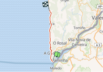

11.3 km | 13.5 km-effort


User


FREE GPS app for hiking
 SityTrail
IGN / Geographical institutes
SityTrail World
The world is yours!
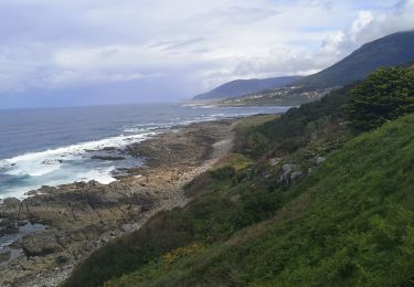
Trail Walking of 25 km to be discovered at Galicia, Pontevedra, A Guarda. This trail is proposed by nanard223.
Étape du porto st Jacques par la cote

On foot
On foot