


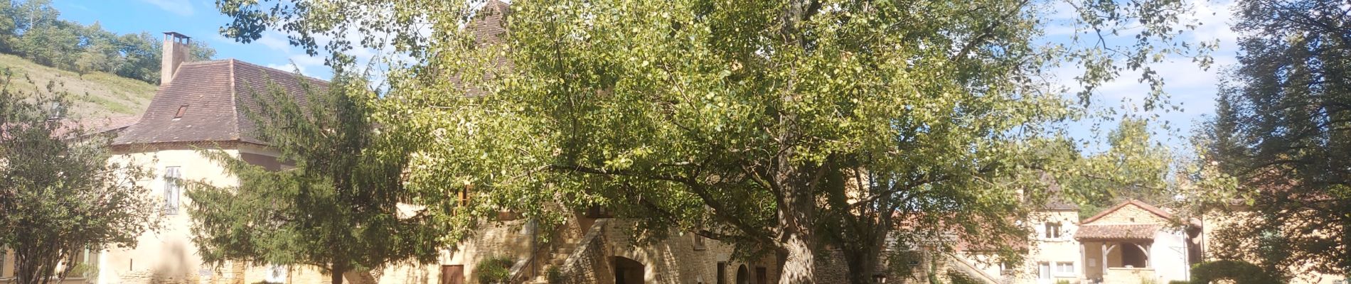
Pays de BELVES

audier
User
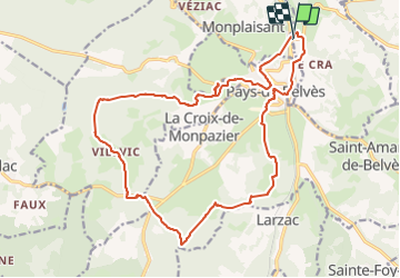


5h16
Difficulty : Medium

FREE GPS app for hiking
 SityTrail
IGN / Geographical institutes
SityTrail Plus
The world is yours!
About
Trail Walking of 21 km to be discovered at New Aquitaine, Dordogne, Sagelat. This trail is proposed by audier.
Description
Au départ du parking de Fongauffier,vous rejoindrez la ville de Belvès. Cette randonnée vous permettra de découvrir un riche patrimoine.
Eglises,Notre Dame de Capelou, pigeonnier,fontaine, puit,la forêt de la Bessède.
Vous terminerez en passant par la gare de Belvès , l'église de Sagelat, puis le parking.
Photos


Positioning
Comments