


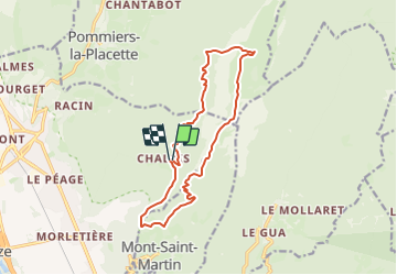

12.3 km | 25 km-effort


User


FREE GPS app for hiking
 SityTrail
IGN / Geographical institutes
SityTrail World
The world is yours!
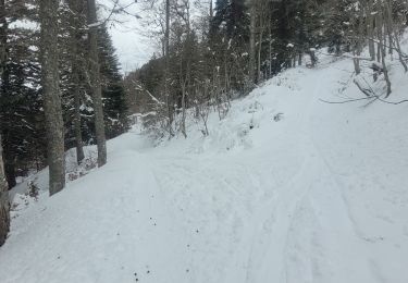
Trail On foot of 13.9 km to be discovered at Auvergne-Rhône-Alpes, Isère, Voreppe. This trail is proposed by Youcef Atallah.
départ Monastère de Chalais. En circuit le rocher de la lorzier
par la cheminée et du Mont St Martin

Walking

Walking

Electric bike

Walking
Walking
Walking
Walking
Walking
Touring skiing