


Cause de Clérans

audier
User
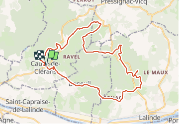

Length
23 km

Max alt
164 m

Uphill gradient
437 m
Km-Effort
28 km

Min alt
64 m

Downhill gradient
436 m
Boucle
Yes
Creation date :
2023-09-17 06:01:52.484
Updated on :
2023-09-17 14:56:54.709
6h28
Difficulty : Medium
4h28
Difficulty : Difficult

FREE GPS app for hiking
 SityTrail
IGN / Geographical institutes
SityTrail Plus
The world is yours!
About
Trail On foot of 23 km to be discovered at New Aquitaine, Dordogne, Cause-de-Clérans. This trail is proposed by audier.
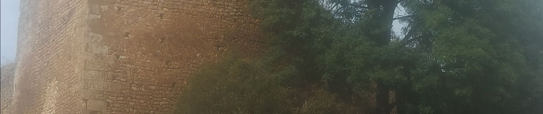
Description
Parcours dans la forêt de Liorac, par d'agréables chemins et de petites routes. Vous découvrirez églises, donjon et le village de Clérans.
Photos


Positioning
Country:
France
Region :
New Aquitaine
Department/Province :
Dordogne
Municipality :
Cause-de-Clérans
Location:
Unknown
Start:(Dec)
Start:(UTM)
315701 ; 4970296 (31T) N.
Comments