


Hélette Soylandotchipi

DECHAMPD
User
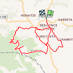

Length
14 km

Max alt
542 m

Uphill gradient
572 m
Km-Effort
22 km

Min alt
226 m

Downhill gradient
573 m
Boucle
Yes
Creation date :
2019-01-14 17:34:41.467
Updated on :
2019-01-14 17:34:41.57
4h28
Difficulty : Medium

FREE GPS app for hiking
 SityTrail
IGN / Geographical institutes
SityTrail Plus
The world is yours!
About
Trail Walking of 14 km to be discovered at New Aquitaine, Pyrénées-Atlantiques, Hélette. This trail is proposed by DECHAMPD.
Description
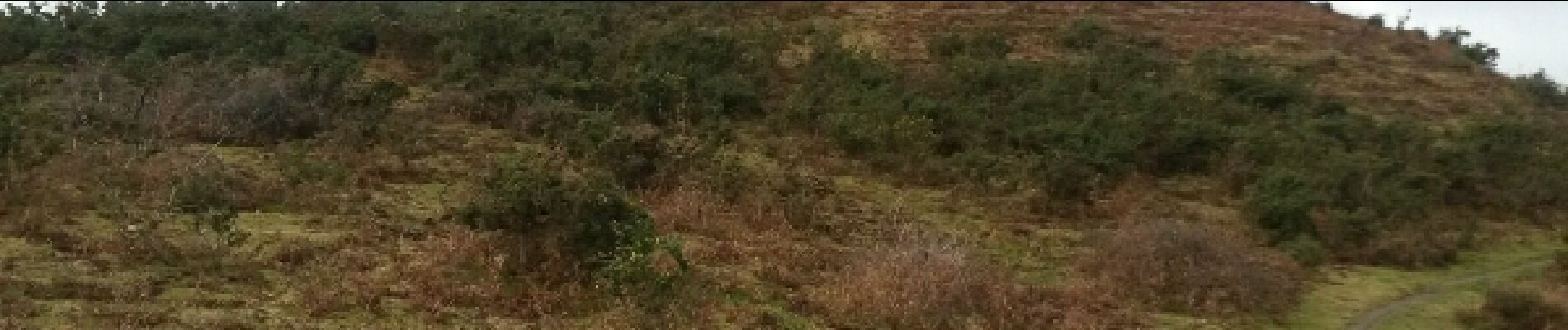
boucle avec pas mal de difficultés. Chemins pas entretenus obstrués interdits
entre A et B sans intérêt
C impossible de passer.
Photos

Points of interest


Positioning
Country:
France
Region :
New Aquitaine
Department/Province :
Pyrénées-Atlantiques
Municipality :
Hélette
Location:
Unknown
Start:(Dec)
Start:(UTM)
642468 ; 4796354 (30T) N.
Comments