


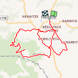


16.6 km | 0 m-effort

User


FREE GPS app for hiking
 SityTrail
IGN / Geographical institutes
SityTrail World
The world is yours!
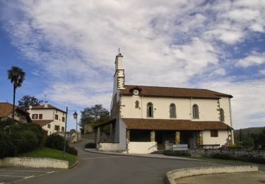
Trail Walking of 14 km to be discovered at New Aquitaine, Pyrénées-Atlantiques, Hélette. This trail is proposed by DECHAMPD.
boucle avec pas mal de difficultés. Chemins pas entretenus obstrués interdits
entre A et B sans intérêt
C impossible de passer.

Walking
Walking

Walking
Equestrian

Walking

Walking

Walking
Walking
Walking