


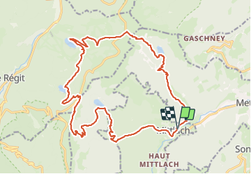
2023-09-24 Marche Mittlach 5 Lacs

holtzv
User GUIDE


9h19
Difficulty : Medium

FREE GPS app for hiking
 SityTrail
IGN / Geographical institutes
SityTrail Plus
The world is yours!
About
Trail Walking of 25 km to be discovered at Grand Est, Haut-Rhin, Mittlach. This trail is proposed by holtzv.
Description
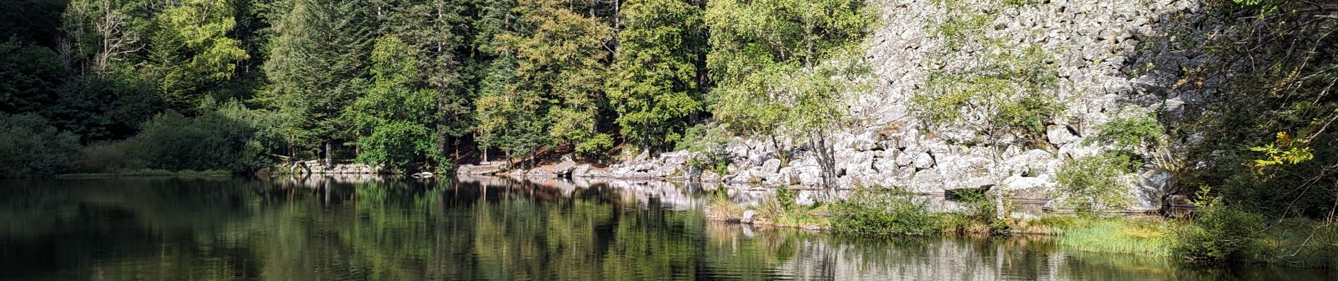
Boucle à la journée au départ de Mittlach en passant par 5 lacs : Fischboedle, Schiessrothried, Lande, Blanchemer et Altenweiher
Le tout en passant par la très belle vallée de la Wormsa, le pied du Hohneck, une petite pause apéro à l'auberge Schmargult et le Rainkopf
Photos


Positioning
Comments