


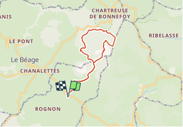

10.9 km | 16 km-effort


User


FREE GPS app for hiking
 SityTrail
IGN / Geographical institutes
SityTrail World
The world is yours!
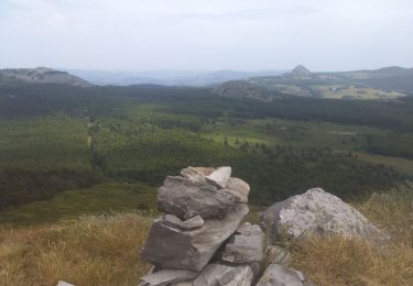
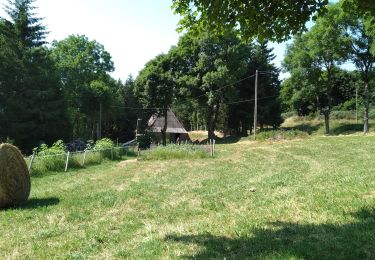
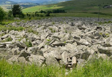
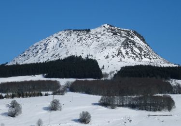
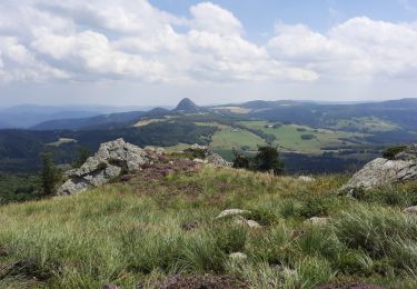
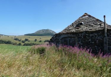
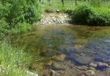
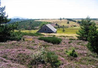
Trail Walking of 13 km to be discovered at Auvergne-Rhône-Alpes, Ardèche, Cros-de-Géorand. This trail is proposed by coureursdecretes.
Rando du 25/09/2023
Walking
Walking
Walking
Walking
Walking

Mountain bike
Walking
Walking
Equestrian