


MASSIF DES BAUGES: PLATEAU DU REVARD AUTOUR DE LA CROIX DES BERGERS (bis)

djeepee74
User
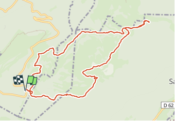

Length
12.5 km

Max alt
1387 m

Uphill gradient
399 m
Km-Effort
17.9 km

Min alt
1133 m

Downhill gradient
398 m
Boucle
Yes
Creation date :
2023-09-26 07:46:55.311
Updated on :
2023-09-29 18:05:41.693
4h03
Difficulty : Medium

FREE GPS app for hiking
 SityTrail
IGN / Geographical institutes
SityTrail Plus
The world is yours!
About
Trail Walking of 12.5 km to be discovered at Auvergne-Rhône-Alpes, Savoy, Montcel. This trail is proposed by djeepee74.
Description
BOUCLE... live du 20230925
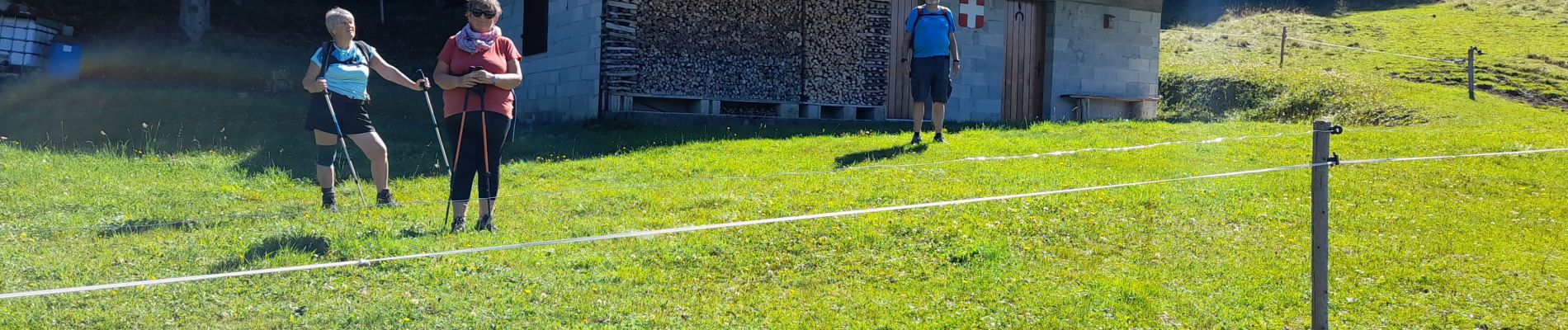
Photos
 - Photo 1")
 - Photo 2")
 - Photo 3")
 - Photo 4")
 - Photo 5")
 - Photo 6")
Positioning
Country:
France
Region :
Auvergne-Rhône-Alpes
Department/Province :
Savoy
Municipality :
Montcel
Location:
Unknown
Start:(Dec)
Start:(UTM)
266382 ; 5063063 (32T) N.
Comments