


valliete

Martin Cassol
User
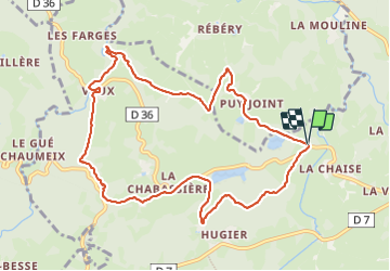

Length
10.8 km

Max alt
604 m

Uphill gradient
195 m
Km-Effort
13.4 km

Min alt
508 m

Downhill gradient
194 m
Boucle
Yes
Creation date :
2023-09-28 11:39:59.247
Updated on :
2023-09-28 15:10:39.234
2h38
Difficulty : Medium

FREE GPS app for hiking
 SityTrail
IGN / Geographical institutes
SityTrail Plus
The world is yours!
About
Trail Walking of 10.8 km to be discovered at New Aquitaine, Creuse, Vallière. This trail is proposed by Martin Cassol.
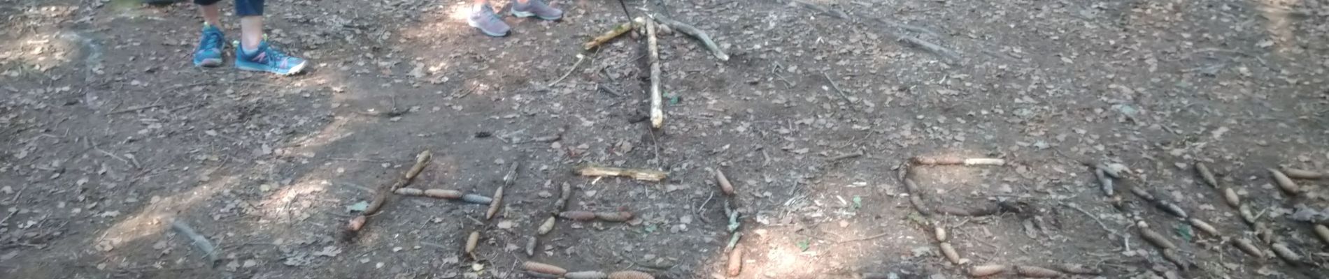
Photos

Positioning
Country:
France
Region :
New Aquitaine
Department/Province :
Creuse
Municipality :
Vallière
Location:
Unknown
Start:(Dec)
Start:(UTM)
422925 ; 5084603 (31T) N.
Comments