


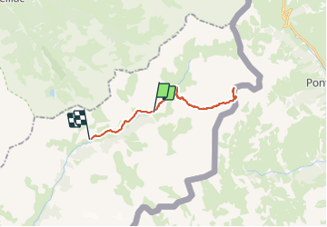

16.7 km | 31 km-effort

User


FREE GPS app for hiking
 SityTrail
IGN / Geographical institutes
SityTrail World
The world is yours!
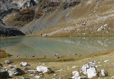
Trail Walking of 22 km to be discovered at Provence-Alpes-Côte d'Azur, Alpes-de-Haute-Provence, Saint-Paul-sur-Ubaye. This trail is proposed by tchoua.
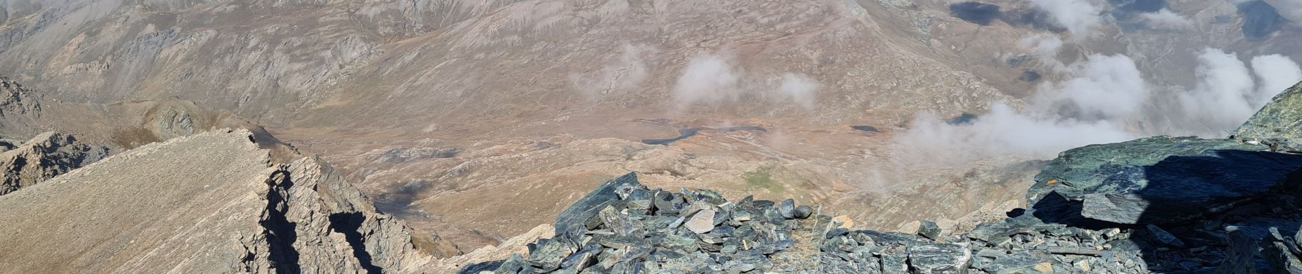
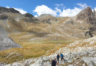
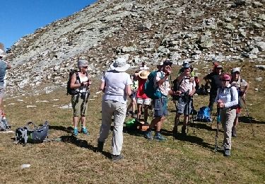
on va dire difficile par la longueur AR = 27KM mais splendide vallon agréable montée descente l itinéraire n est pas indiqué sur la carte seulement l itinéraire à ski et le sentier du col du Longet mais faut pas s inquiéter car le sentier est bien indiqué et surtout jalonné, pour ceux qui veulent dormir à 3000m il y a le bivacco BOERIO juste après le pas de Mongoia ce refuge est sous le sommet et à partir de celui-ci vous avez une petite grimpette de 20mn pour y accéder, on peut rejoindre le col du longet depuis ce refuge.


Walking
Walking
Touring skiing
Walking
Walking
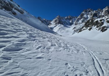
Snowshoes
Walking
Walking
Walking