


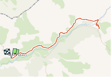


16.7 km | 31 km-effort

User


FREE GPS app for hiking
 SityTrail
IGN / Geographical institutes
SityTrail World
The world is yours!
Trail Walking of 12.1 km to be discovered at Provence-Alpes-Côte d'Azur, Alpes-de-Haute-Provence, Saint-Paul-sur-Ubaye. This trail is proposed by walrou63.
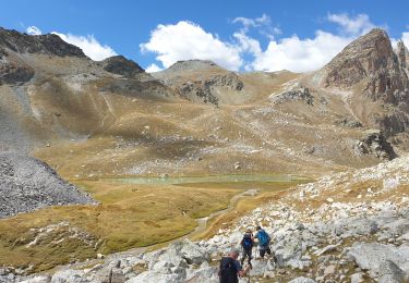
Belle randonnée depuis MALJASSET au Plan de PAROUART (ancien lac au début du XXème siècle comblé par les alluvions des torrents l'alimentant puis en 1930 par un violent orage)
Nous avons fait la randonnée en aller-retour par la rive droite de l'Ubaye, car les gués étaient impraticables, le débit des torrents trop important, pour un retour par la rive gauche.


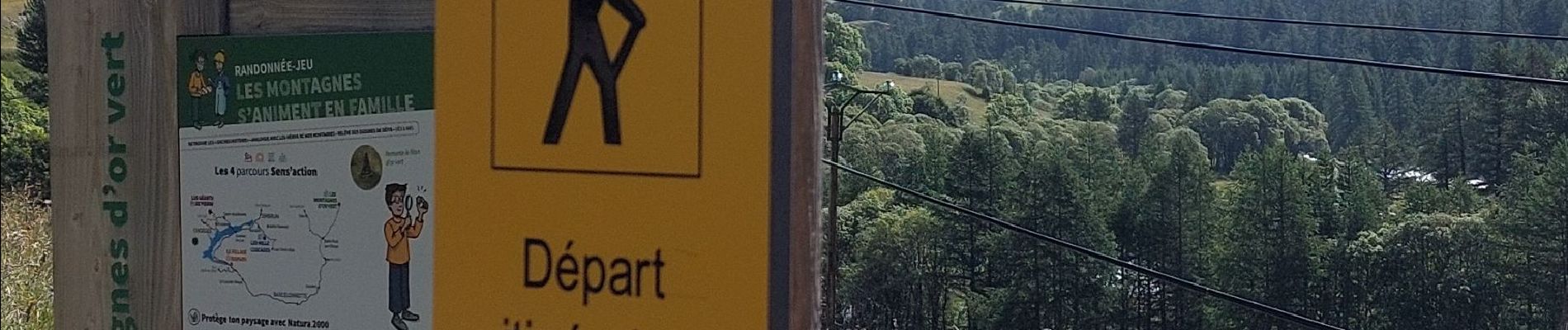
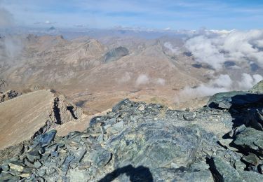
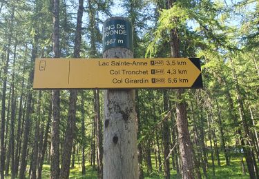
38 photos in total. Please click on a photo to see them all in the gallery.

Walking
Walking

Walking
Walking
Walking
Walking
Touring skiing
Walking
Walking