


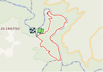

5.9 km | 9.4 km-effort

User


FREE GPS app for hiking
 SityTrail
IGN / Geographical institutes
SityTrail World
The world is yours!
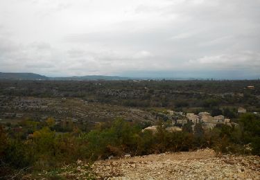
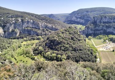
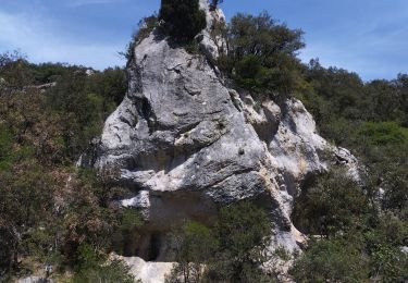
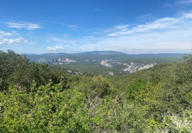
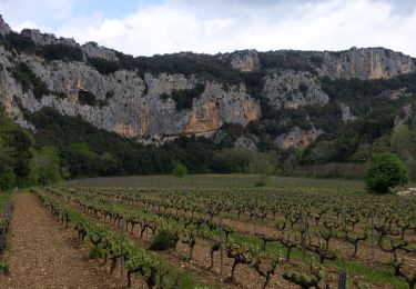
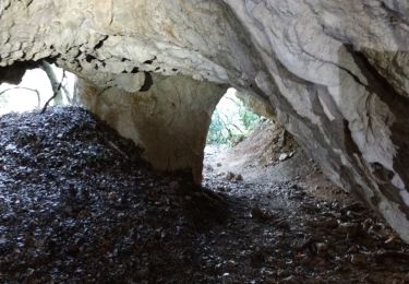
Trail Walking of 8.9 km to be discovered at Auvergne-Rhône-Alpes, Ardèche, Labastide-de-Virac. This trail is proposed by loca.yves.
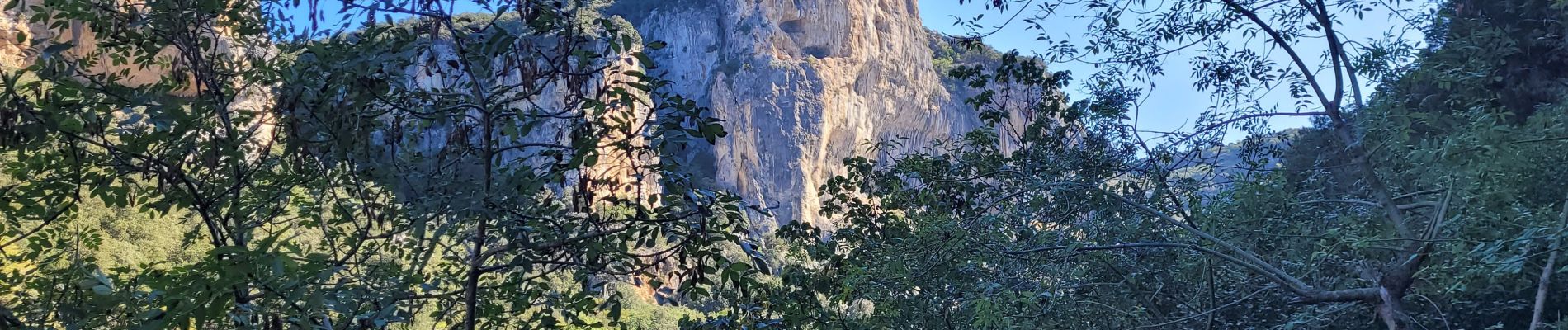
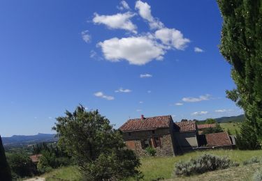
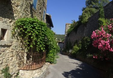
très belle


Walking
Mountain bike
Mountain bike
Cycle
Walking
Walking
Walking
Walking
Walking