


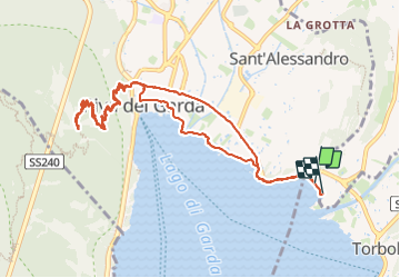

4.7 km | 11.3 km-effort


User


FREE GPS app for hiking
 SityTrail
IGN / Geographical institutes
SityTrail World
The world is yours!
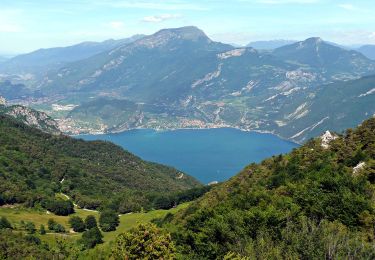
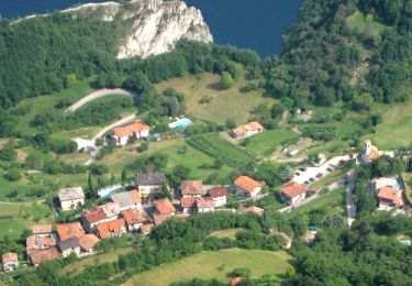
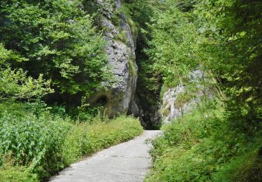
Trail Walking of 12.6 km to be discovered at Trentino-Alto Adige/Südtirol, Provincia di Trento, Arco. This trail is proposed by fissettemichel.
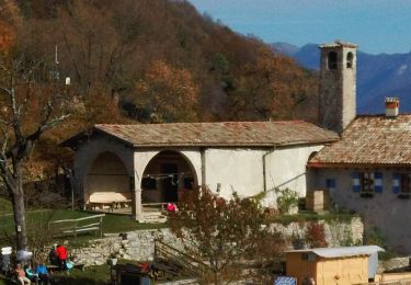
visite chapelle Santa barbara


On foot
On foot
On foot
On foot

On foot
On foot
On foot
On foot
On foot