


15.1 km | 17.2 km-effort

User


FREE GPS app for hiking
 SityTrail
IGN / Geographical institutes
SityTrail World
The world is yours!
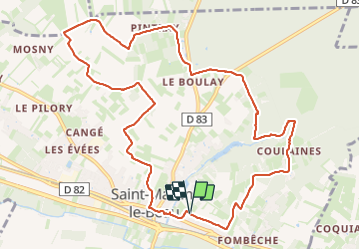
Trail Walking of 11.8 km to be discovered at Centre-Loire Valley, Indre-et-Loire, Saint-Martin-le-Beau. This trail is proposed by Orcal37.
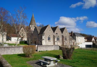
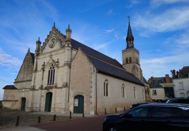
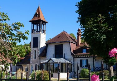
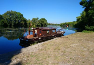
Saint-Martin-le-Beau - PR Entre Vignes et Forêts - dans le sens inverse du balisage - 11.8km 120m 2h45 (45mn) - 2023 10 07
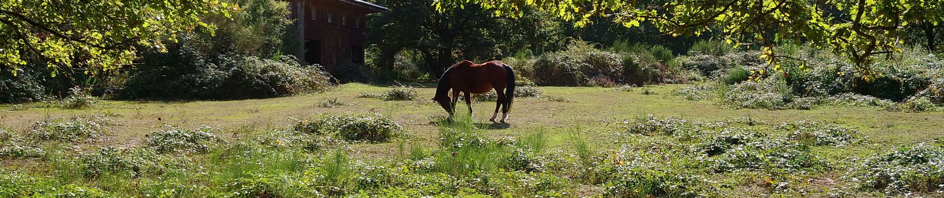
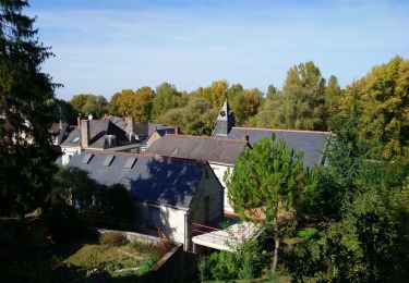
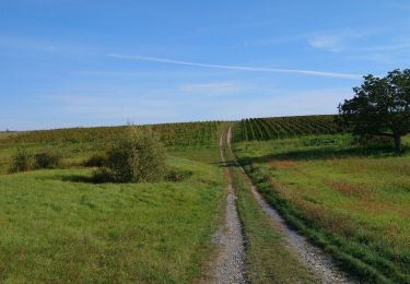
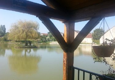
 - 2023 10 07 - Photo 1")
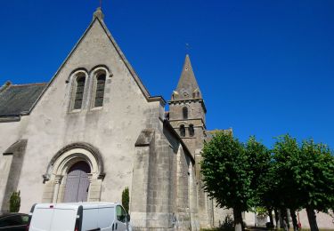
 - 2023 10 07 - Photo 2")
 - 2023 10 07 - Photo 3")
 - 2023 10 07 - Photo 4")
 - 2023 10 07 - Photo 5")
 - 2023 10 07 - Photo 6")
 - 2023 10 07 - Photo 7")
 - 2023 10 07 - Photo 8")
Walking
Walking
Walking
Walking
Walking
Walking

Walking
Walking
Walking