


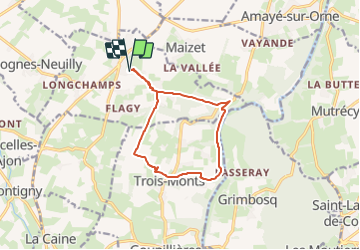

28 km | 35 km-effort


User


FREE GPS app for hiking
 SityTrail
IGN / Geographical institutes
SityTrail World
The world is yours!
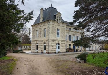
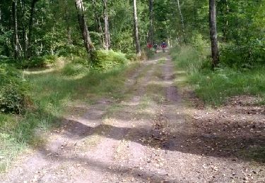
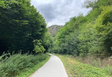
Trail Walking of 10.6 km to be discovered at Normandy, Calvados, Sainte-Honorine-du-Fay. This trail is proposed by yannick14.
super

Mountain bike


Walking
Mountain bike

Running


sport
Road bike

On foot