


Banyuls cerbere

simonm0204
User
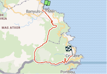

Length
14.2 km

Max alt
648 m

Uphill gradient
787 m
Km-Effort
25 km

Min alt
2 m

Downhill gradient
781 m
Boucle
No
Creation date :
2023-10-08 08:05:11.0
Updated on :
2023-10-08 15:50:25.9
6h58
Difficulty : Difficult

FREE GPS app for hiking
 SityTrail
IGN / Geographical institutes
SityTrail Plus
The world is yours!
About
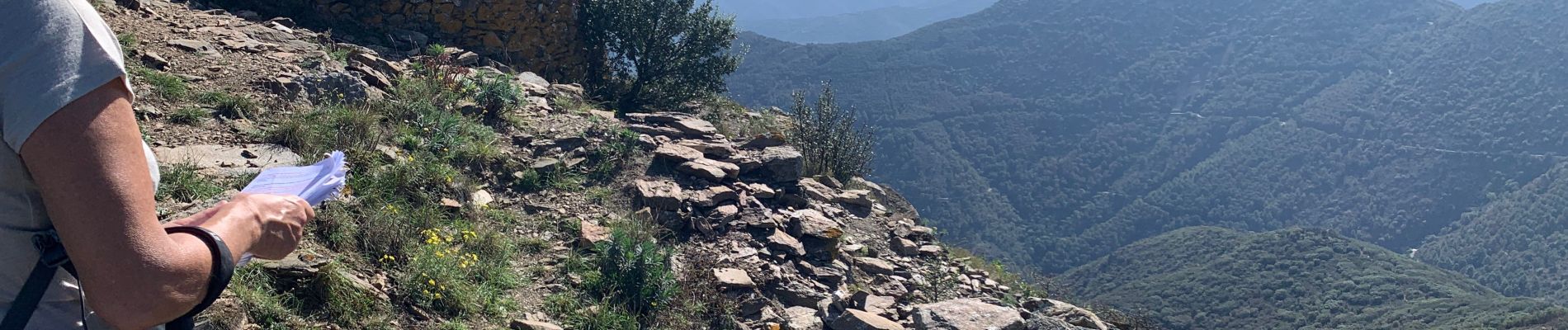
Trail Walking of 14.2 km to be discovered at Occitania, Pyrénées-Orientales, Banyuls-sur-Mer. This trail is proposed by simonm0204.
Photos


Positioning
Country:
France
Region :
Occitania
Department/Province :
Pyrénées-Orientales
Municipality :
Banyuls-sur-Mer
Location:
Unknown
Start:(Dec)
Start:(UTM)
510745 ; 4703173 (31T) N.
Comments