


15.5 km | 29 km-effort


User


FREE GPS app for hiking
 SityTrail
IGN / Geographical institutes
SityTrail World
The world is yours!
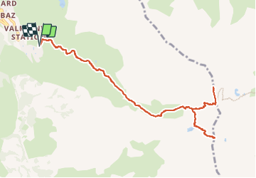
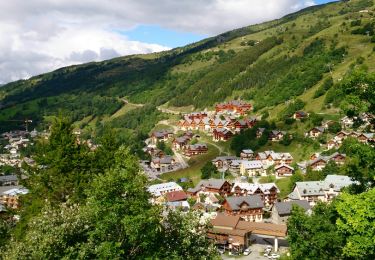
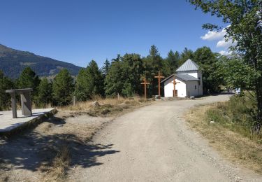
Trail Walking of 12.2 km to be discovered at Auvergne-Rhône-Alpes, Savoy, Valmeinier. This trail is proposed by Valmeinier.
Montée au Col des Marches par le vallon des Marches depuis Valmeinier 1900 puis escapade sur les crêtes de la Sandonière
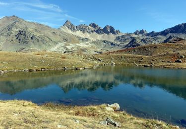
Retour par le Lac de Roche Noire et AR au Col de la Roche du Lac.
Retour par le même chemin.


Walking

Walking
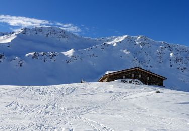
Snowshoes
Walking
Walking
Walking

Walking
Walking
Walking