


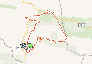

9.2 km | 11.9 km-effort


User


FREE GPS app for hiking
 SityTrail
IGN / Geographical institutes
SityTrail World
The world is yours!
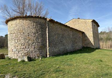
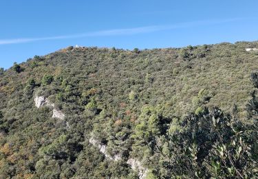
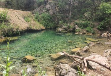
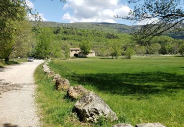
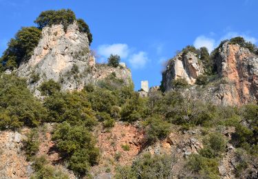
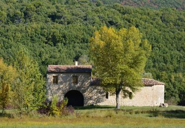
Trail of 11.6 km to be discovered at Provence-Alpes-Côte d'Azur, Var, Montferrat. This trail is proposed by jaflo.
Belle et super rando avec un petit 350 et 11,5 Km Et bien ombragée


Walking
Walking
Walking
Walking
Walking
Walking
Walking
Walking

Walking