


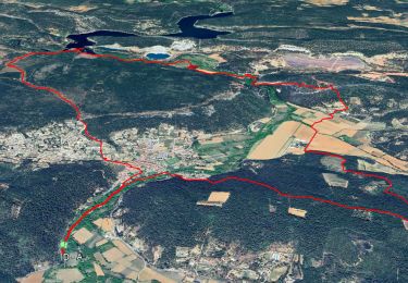
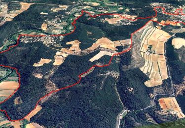
15.3 km | 21 km-effort


User


FREE GPS app for hiking
 SityTrail
IGN / Geographical institutes
SityTrail World
The world is yours!
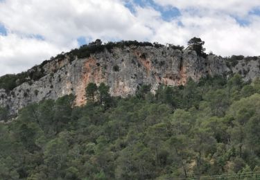
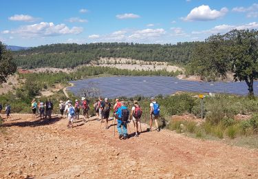
Trail On foot of 13.3 km to be discovered at Provence-Alpes-Côte d'Azur, Var, Le Thoronet. This trail is proposed by dirkvermey.
Départ du parking de l'abbaye du Thoronet. La randonnée suit la Via Aurelia, balisée en rouge et blanc sous la forme du GR653A. Pas d'aller-retour, donc garer les voitures à Lorgues pour les récupérer à l'abbaye.
On foot

Walking

Walking
Walking
Walking

Walking

sport
Walking
Walking