


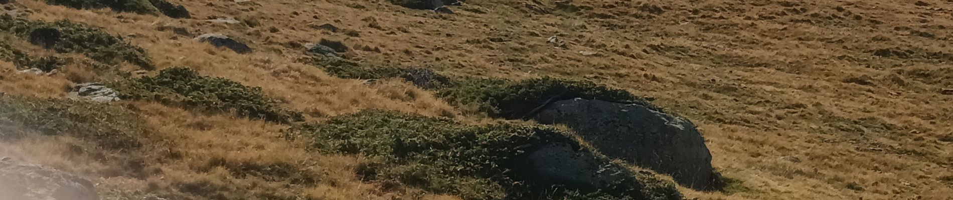
Le bram du cerf

FAUCET
User
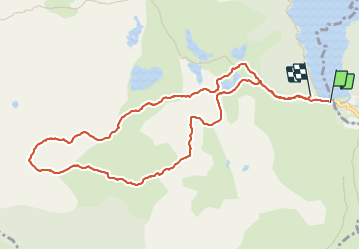

Length
11.8 km

Max alt
2316 m

Uphill gradient
448 m
Km-Effort
17.6 km

Min alt
2009 m

Downhill gradient
418 m
Boucle
No
Creation date :
2023-10-12 06:11:52.718
Updated on :
2023-10-12 13:00:37.612
4h27
Difficulty : Difficult

FREE GPS app for hiking
 SityTrail
IGN / Geographical institutes
SityTrail Plus
The world is yours!
About
Trail Walking of 11.8 km to be discovered at Occitania, Pyrénées-Orientales, Angoustrine-Villeneuve-des-Escaldes. This trail is proposed by FAUCET.
Photos

Positioning
Country:
France
Region :
Occitania
Department/Province :
Pyrénées-Orientales
Municipality :
Angoustrine-Villeneuve-des-Escaldes
Location:
Unknown
Start:(Dec)
Start:(UTM)
417914 ; 4712387 (31T) N.
Comments