


2023 10 12 Boenlesgrab

E.BURCK
User
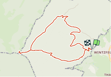

Length
11 km

Max alt
896 m

Uphill gradient
516 m
Km-Effort
17.9 km

Min alt
427 m

Downhill gradient
516 m
Boucle
Yes
Creation date :
2023-10-12 07:31:23.658
Updated on :
2023-10-12 13:46:14.688
3h37
Difficulty : Medium

FREE GPS app for hiking
 SityTrail
IGN / Geographical institutes
SityTrail Plus
The world is yours!
About
Trail Walking of 11 km to be discovered at Grand Est, Haut-Rhin, Rouffach. This trail is proposed by E.BURCK.
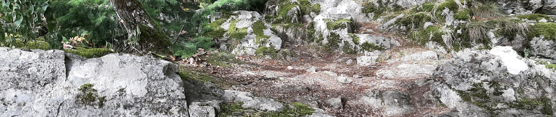
Photos

Positioning
Country:
France
Region :
Grand Est
Department/Province :
Haut-Rhin
Municipality :
Rouffach
Location:
Unknown
Start:(Dec)
Start:(UTM)
364782 ; 5315451 (32T) N.
Comments