


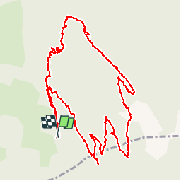


7.4 km | 16.7 km-effort

User


FREE GPS app for hiking
 SityTrail
IGN / Geographical institutes
SityTrail World
The world is yours!
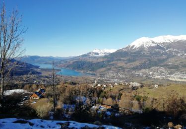
Trail Walking of 8.3 km to be discovered at Provence-Alpes-Côte d'Azur, Hautes-Alpes, Saint-Sauveur. This trail is proposed by Tchoubi.
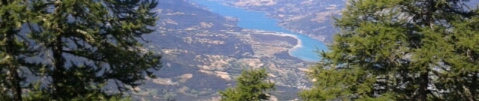
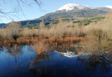
La montée est raide avec une fille de 8 ans. Nous n'avons pas voulu poursuivre jusqu'au sommet. Une prochaine fois peut-être.
La rando est sympa quand même.


Other activity

Walking

Walking

Touring skiing
Snowshoes
Walking
Snowshoes
Walking
Walking