


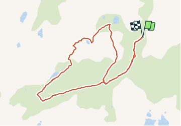

14.5 km | 29 km-effort

User


FREE GPS app for hiking
 SityTrail
IGN / Geographical institutes
SityTrail World
The world is yours!
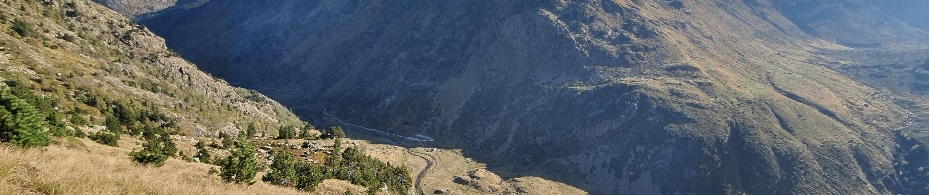
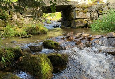
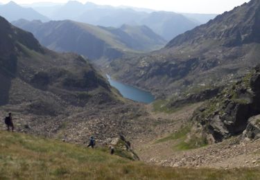
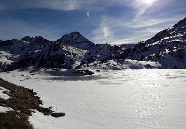
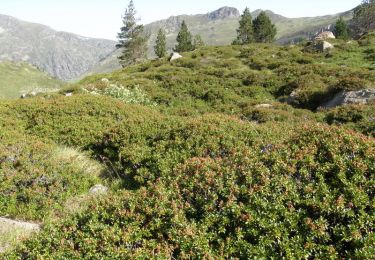
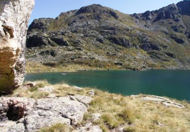
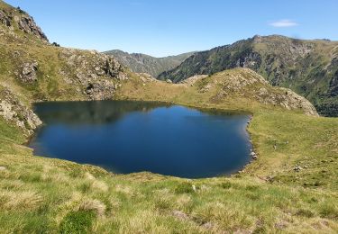
Trail Walking of 12 km to be discovered at Occitania, Ariège, Aston. This trail is proposed by chrisgps.
en boucle par les étangsde Caballière et de Mirabail


Walking
Walking
Walking
Walking
Walking
Walking
Walking
Walking