


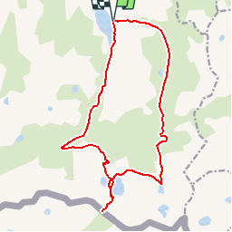

14.5 km | 29 km-effort

User


FREE GPS app for hiking
 SityTrail
IGN / Geographical institutes
SityTrail World
The world is yours!
Trail Walking of 18.6 km to be discovered at Occitania, Ariège, Aston. This trail is proposed by tracegps.
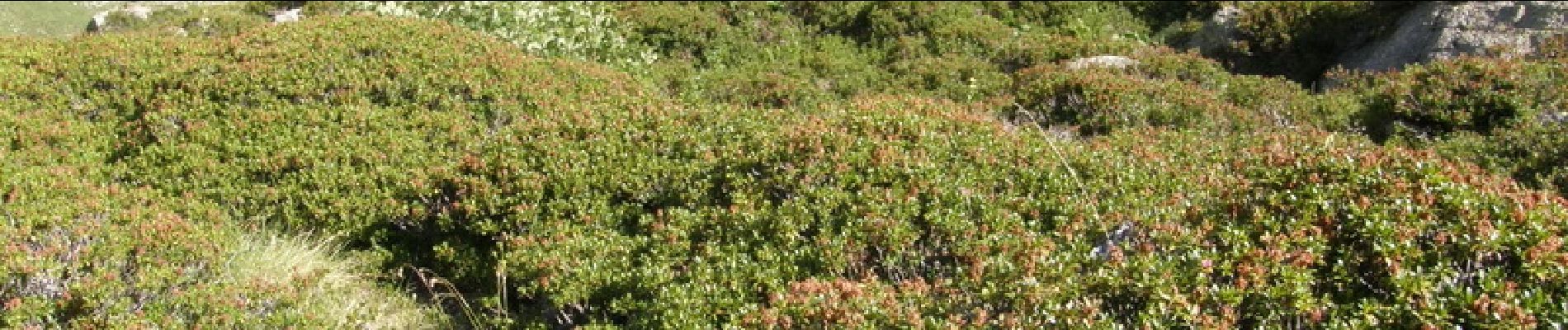
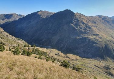
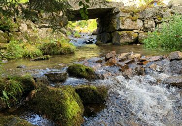
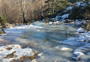
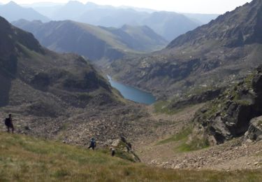
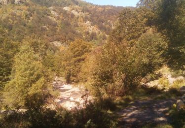
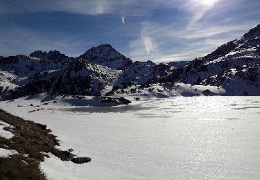
Très jolie randonnée sur 2 jours avec une nuit dans le refuge gardé du Ruhle. Départ de l'étang de Laparan. La vallée du RIEUTORT est pittoresque. La flore est splendide. Les parterres de rhododendrons recouvrent une bonne partie de la vallée. Les paysages montagneux méritent de prendre son temps. Le refuge de Ruhle est en très bon état. Les gardiens sont accueillants.


Walking
Walking
Walking
Walking
Walking
Walking
Walking