


boucle autour de collioure

fab0202
User


Length
9.4 km

Max alt
322 m

Uphill gradient
431 m
Km-Effort
15.2 km

Min alt
8 m

Downhill gradient
438 m
Boucle
No
Creation date :
2023-10-24 07:31:00.978
Updated on :
2023-10-24 11:01:10.705
3h11
Difficulty : Medium

FREE GPS app for hiking
 SityTrail
IGN / Geographical institutes
SityTrail Plus
The world is yours!
About
Trail Walking of 9.4 km to be discovered at Occitania, Pyrénées-Orientales, Collioure. This trail is proposed by fab0202.
Description
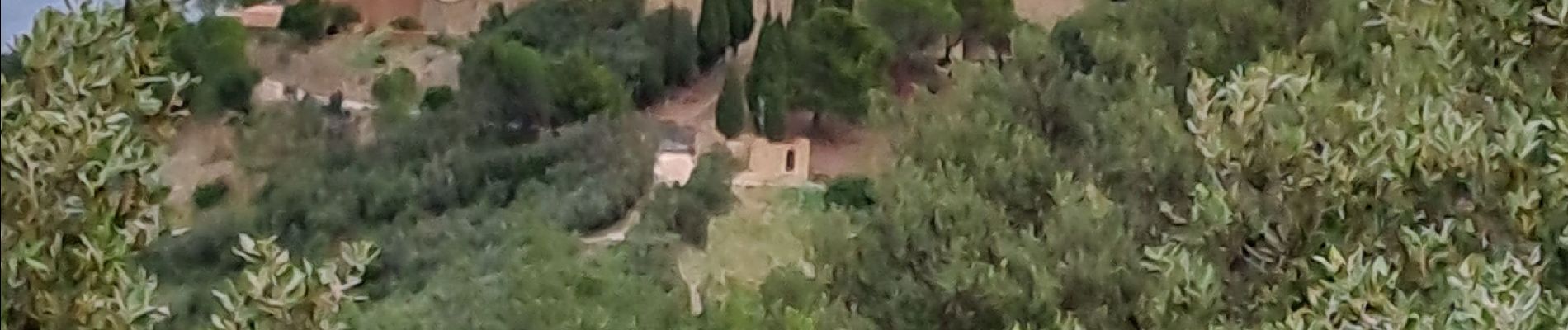
belle boucle autour de collioure entre vignoble, ermitage, forts et superbes panoramas au dessus du col de mollo.
Photos


Positioning
Country:
France
Region :
Occitania
Department/Province :
Pyrénées-Orientales
Municipality :
Collioure
Location:
Unknown
Start:(Dec)
Start:(UTM)
506936 ; 4708043 (31T) N.
Comments