


Le Mont Fourchon

Genisset
User

Length
5.9 km

Max alt
2845 m

Uphill gradient
517 m
Km-Effort
13.1 km

Min alt
2313 m

Downhill gradient
610 m
Boucle
No
Creation date :
2023-09-04 08:29:38.665
Updated on :
2023-10-28 14:31:59.094
2h28
Difficulty : Medium

FREE GPS app for hiking
 SityTrail
IGN / Geographical institutes
SityTrail Plus
The world is yours!
About
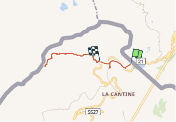
Trail Walking of 5.9 km to be discovered at Aosta Valley, Unknown, Saint-Rhémy-en-Bosses. This trail is proposed by Genisset.
Positioning
Country:
Italy
Region :
Aosta Valley
Department/Province :
Unknown
Municipality :
Saint-Rhémy-en-Bosses
Location:
Unknown
Start:(Dec)
Start:(UTM)
357545 ; 5081092 (32T) N.
Comments