


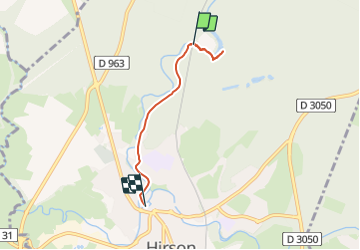

7.8 km | 9.6 km-effort

User


FREE GPS app for hiking
 SityTrail
IGN / Geographical institutes
SityTrail World
The world is yours!
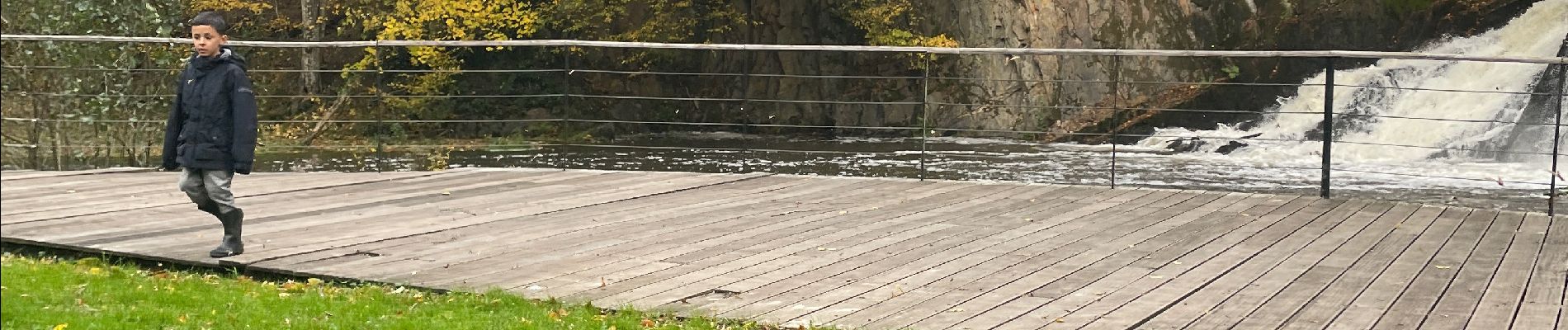
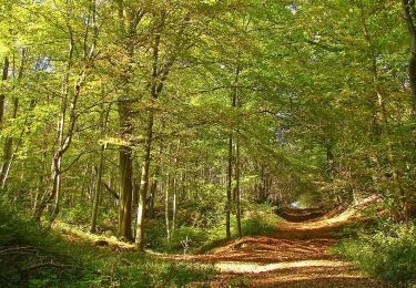
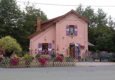
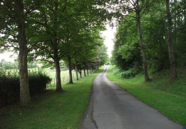
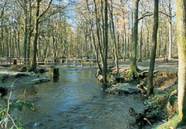
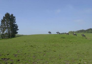
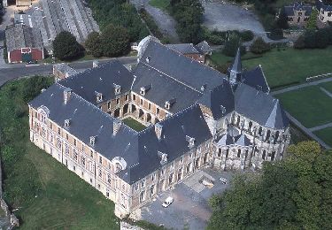
Trail of 3.6 km to be discovered at Hauts-de-France, Aisne, Hirson. This trail is proposed by zayneb aftat.
2/11/2023
Herfstvakantie


Nordic walking
Nordic walking
Walking
Mountain bike
Cycle
Walking
Mountain bike
Walking
Walking