Trail Walking Arles - 04 Arles  /  Aniane - Photo
© OpenStreetMap contributors
Length
Length
118 km
Max alt
Max alt
264 m
Uphill gradient
Uphill gradient
1214 m
Km-Effort
Km-Effort  
134 km
Min alt
Min alt
-2 m
Downhill gradient
Downhill gradient
1156 m
Boucle
Boucle
No
Creation date :
2015-04-08 00:00:00.0
Updated on :
2015-04-08 00:00:00.0

(0 Reviews)

Walking
Walking
28h41
Difficulty : Medium

Scan this QR Code to open this trail in the SityTrail application

FREE GPS app for hiking

Logo SityTrail SityTrail

IGN / Geographical institutes

Download SityTrail from the App Store Download SityTrail from Google Play

Logo SityTrail SityTrail World

The world is yours!

Download SityTrail from the App Store Download SityTrail from Google Play Download SityTrail on Huawei AppGallery

About

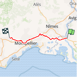
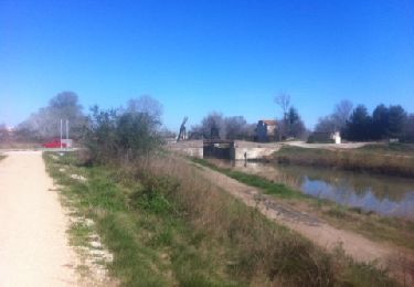
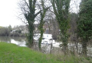
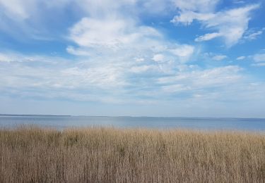
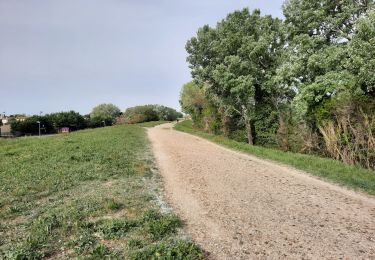
Trail Walking of 118 km to be discovered at Provence-Alpes-Côte d'Azur, Bouches-du-Rhône, Arles. This trail is proposed by Marc83143.

Description

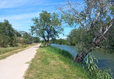
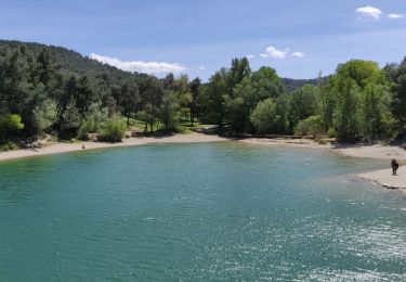
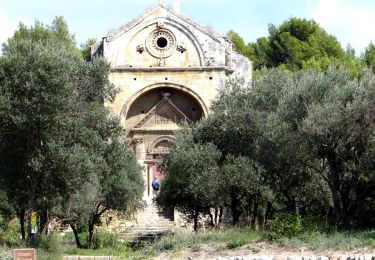
Chemin de St Jacques

Elevation profile

Positioning

Country:
France
Region :
Provence-Alpes-Côte d'Azur
Department/Province :
Bouches-du-Rhône
Municipality :
Arles
Location:
Unknown
Start:(UTM)
631660 ; 4836871 (31T) N.

Trails nearby

Trail Walking Arles - arles sud, théâtre, pont van gogh et au delà  - Photo
Walking
Charles Lemaire

Walking

Medium
Arles, Provence-Alpes-Côte d'Azur, Bouches-du-Rhône, France
10.7 km | 11.4 km-effort
2h 47min
Yes
Trail Horseback riding Fontvieille - 2019-04-28 Rando CVA Alpilles Les Enganes La Sarriette - Photo
Horseback riding
GUIDE
holtzv

Horseback riding

Difficult
Fontvieille, Provence-Alpes-Côte d'Azur, Bouches-du-Rhône, France
37 km | 45 km-effort
5h 10min
No
Trail Walking Arles - Rome-21-Arles-StGabriel-20150908 - Photo
Walking
patrickdanilo

Walking

Very easy
Arles, Provence-Alpes-Côte d'Azur, Bouches-du-Rhône, France
18.4 km | 20 km-effort
4h 24min
No
Trail Running Arles - barriol_1 - Photo
Running
pierrouts77

Running

Easy
Arles, Provence-Alpes-Côte d'Azur, Bouches-du-Rhône, France
6.9 km | 7.3 km-effort
59min
Yes
Trail Walking Arles - arles st Gilles - Photo
Walking
RR31

Walking

Medium
Arles, Provence-Alpes-Côte d'Azur, Bouches-du-Rhône, France
21 km | 23 km-effort
4h 29min
No
Trail Bicycle tourism Arles - Arles  -  Stes-Maries-de-la-Mer - Photo
Bicycle tourism
karawatsj

Bicycle tourism

Medium
Arles, Provence-Alpes-Côte d'Azur, Bouches-du-Rhône, France
54 km | 55 km-effort
3h 34min
No
Trail Hybrid bike Fourques - st gil fourques - Photo
Hybrid bike
toinou30

Hybrid bike

Medium
Fourques, Occitania, Gard, France
19.4 km | 20 km-effort
1h 9min
No
Trail Road bike Arles - autour de la porte des alpilles - Photo
Road bike
Dessalien

Road bike

Very easy
Arles, Provence-Alpes-Côte d'Azur, Bouches-du-Rhône, France
37 km | 41 km-effort
2h 28min
Yes
Trail Walking Arles - AT 1 - Photo
Walking
Hauttecoeur

Walking

Medium
Arles, Provence-Alpes-Côte d'Azur, Bouches-du-Rhône, France
16.8 km | 17.9 km-effort
5h 30min
No


Close
My subscriptions