


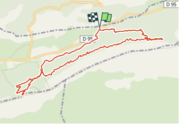

8.4 km | 15.5 km-effort


User


FREE GPS app for hiking
 SityTrail
IGN / Geographical institutes
SityTrail World
The world is yours!
Trail Walking of 13.4 km to be discovered at Provence-Alpes-Côte d'Azur, Var, Plan-d'Aups-Sainte-Baume. This trail is proposed by famillerudent.
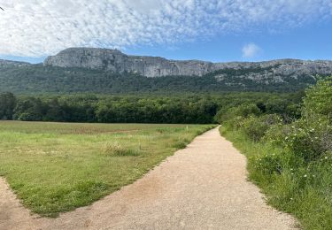
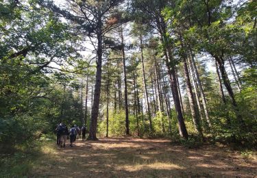
petite boucle trés agréable pour les couleurs d'automne avec une boucle en aller retopur sur le sentier merveilleux et la montée à la grotte de marie madeleine pour avoir une belle vue sur le massif


Walking

Walking

Walking

Walking

Walking

Walking

Walking
On foot
Walking