


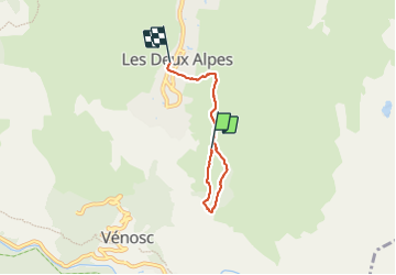

13.8 km | 24 km-effort

User


FREE GPS app for hiking
 SityTrail
IGN / Geographical institutes
SityTrail World
The world is yours!
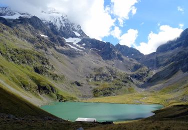
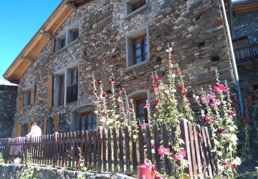
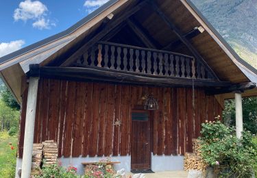
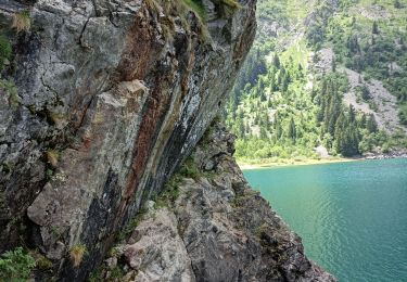
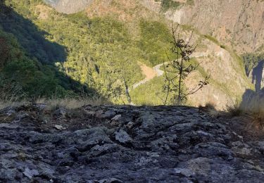
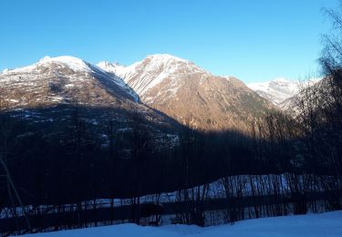
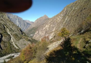
Trail Walking of 3.8 km to be discovered at Auvergne-Rhône-Alpes, Isère, Les Deux Alpes. This trail is proposed by hubert REVILLOT 2.
petite promenade


Walking
Walking
Walking
Electric bike
Walking
Walking
Walking
Touring skiing
Walking