


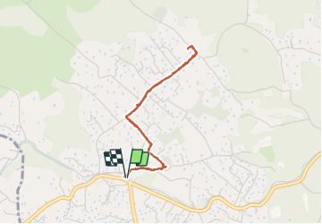

13.1 km | 22 km-effort

User


FREE GPS app for hiking
 SityTrail
IGN / Geographical institutes
SityTrail World
The world is yours!
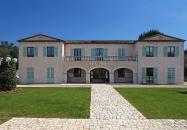
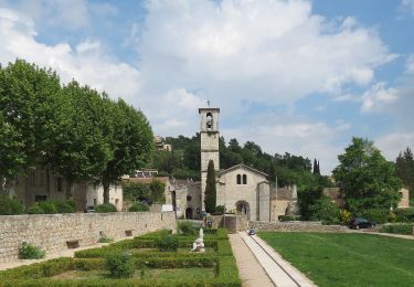
Trail Orienteering of 3.6 km to be discovered at Provence-Alpes-Côte d'Azur, Maritime Alps, Roquefort-les-Pins. This trail is proposed by GrouGary.
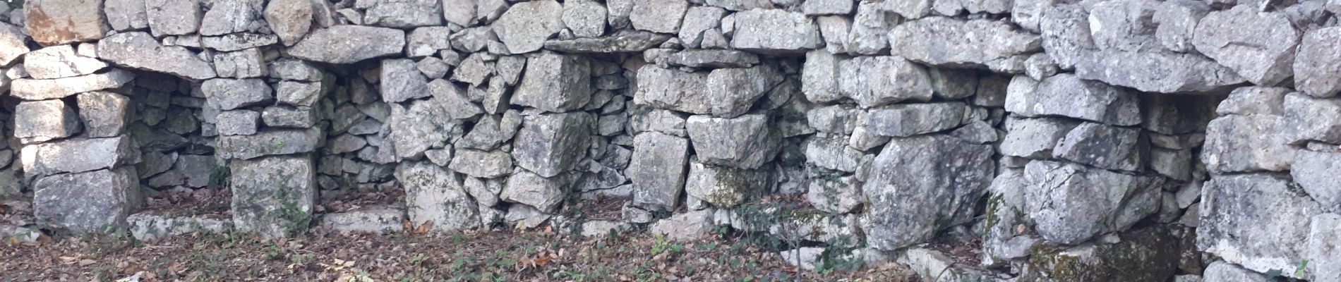
AR pour découvrir le "rucher" en anneau de Roquefort les pins mais accessible pour le visiter (il est cependant "sous propriété privé") ;
Constitué de niches en pierres sèches parfaitement étanches sur la partie haute ; Chaque niche pouvait contenir des ruchers en paille, en baguettes, ou en écorce de chêne liège, évitant les écarts trop élevés de température pour les abeilles.


Walking
Walking
On foot
On foot
On foot
On foot
On foot
On foot
On foot