


Thyrs : sommet du Robion

ETMU5496
User
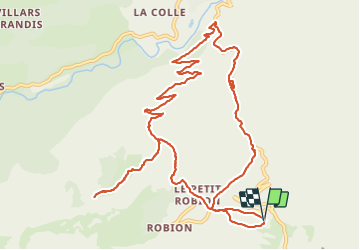

Length
14.6 km

Max alt
1641 m

Uphill gradient
977 m
Km-Effort
28 km

Min alt
725 m

Downhill gradient
972 m
Boucle
Yes
Creation date :
2023-11-22 08:09:30.0
Updated on :
2023-11-23 12:20:49.518
6h16
Difficulty : Difficult

FREE GPS app for hiking
 SityTrail
IGN / Geographical institutes
SityTrail Plus
The world is yours!
About
Trail Walking of 14.6 km to be discovered at Provence-Alpes-Côte d'Azur, Alpes-de-Haute-Provence, Castellane. This trail is proposed by ETMU5496.
Description
retour par les gorges de Rayaup
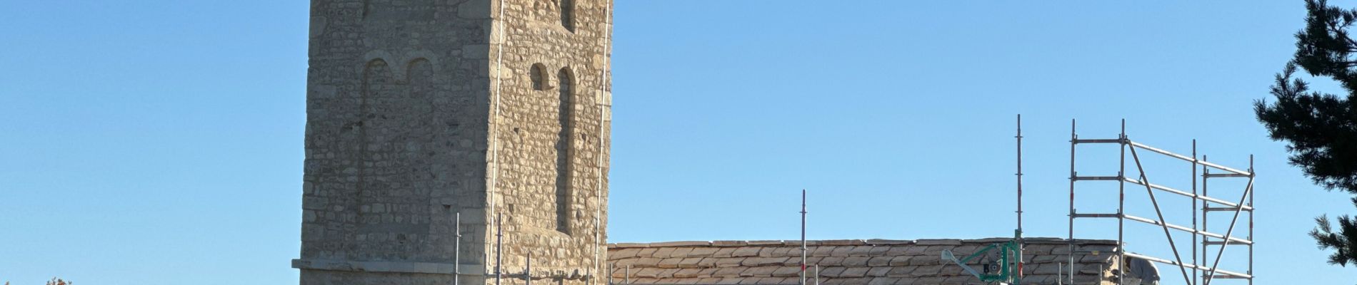
Photos


Positioning
Country:
France
Region :
Provence-Alpes-Côte d'Azur
Department/Province :
Alpes-de-Haute-Provence
Municipality :
Castellane
Location:
Unknown
Start:(Dec)
Start:(UTM)
299623 ; 4854032 (32T) N.
Comments